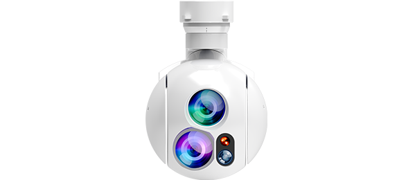
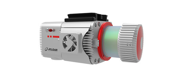
JoLiDAR-1000 is your go-to solution for mapping and power line inspections in challenging terrain. With integrated cutting-edge components like a laser scanner, GNSS high-precision positioning system, inertial navigation system, high-speed data acquisition system, and half-frame camera, JoLiDAR-1000 delivers unrivaled measurement accuracy.
Centimeter-Level Accuracy
With an impressive 5mm measurement accuracy and 10mm repetition accuracy, you can trust the JoLiDAR-1000 to deliver highly detailed and reliable results, instilling confidence in your project outcomes.
Unmatched Efficiency
With its 1000m scanning range and wide 100° field of view, the JoLiDAR-1000 covers more ground per scan, reducing the need for multiple setups. This efficiency makes it a cost-effective choice for surveying, especially in challenging terrain and complex environments.
Dense Point Clouds
With a laser pulse frequency of up to 1500 kHz and a line scanning rate of 300 lines/second, the JoLiDAR-1000 generates dense point clouds that provide a comprehensive representation of the scanned environment. This dense data minimizes the impact of noise and outliers, resulting in more accurate and reliable measurements.
True-Color Visualization
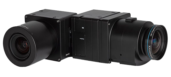
Equipped with a 26 MP Half-Frame Camera, the JoLiDAR-1000 seamlessly integrates high-resolution images (6252×4168) with LiDAR data, offering true-color point clouds for easier interpretation and analysis of complex environments.
Real-time Results
Make informed decisions on-site with real-time generation of laser point clouds and orthophotos, eliminating the wait for data and providing actionable insights when you need them most.
Advanced RTK+IMU Fusion
Our intelligent fusion process combines highly accurate positional data from RTK with dynamic motion data from the IMU in real-time. This ensures accurate georeferencing even in challenging environments, without the need for external reference points.
- Post POS attitude accuracy: 0.005°
- Post POS head accuracy: 0.015°
No Base Station or GCP Required
Unlike many traditional LiDAR systems, the JoLiDAR-1000 operates without the need for a base station or ground control points (GCPs). This eliminates dependence on additional infrastructure and simplifies the data acquisition process.
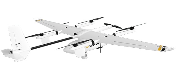
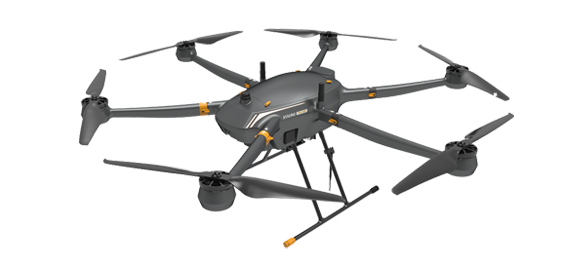
Integrating the JoLiDAR-1000 scanner with a drone makes it simpler and more affordable to use LiDAR technology. JOUAV offers a range of compatible drones specifically designed to work with the JoLiDAR-1000 scanner.
JoLiDAR-1000 provides highly detailed, accurate data, which can be used for large area mapping, power line inspection, road construction and other purposes.
Mechanical single line
Class 1
5mm
10mm
1000m
100°
100~1500 KHz
0.001°
10~300 lines/sec
7
0.005°
0.015°
600Hz
GPS, GLONASS, GALILEO, BEIDOU
26MP
23.5mm×15.7mm
6252×4168
16mm
5cm@300m
2.1 kg
243mm×102mm×138mm
<55W
-20℃ ~ 55℃
JOUAV is constantly updating its cameras and enriching its product lineups to provide a better data results and to meet customers' needs.
Feel free to contact JOUAV. What we can help you:
