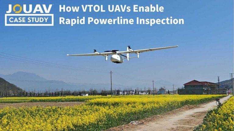
Discover how JOUAV VTOL UAVs enable faster and more efficient transmission corridor inspections.Our solution supports both transmission tower inspection and rapid corridor patrol, helping utilities quickly detect potential risks across long-distance power infrastructure.
Videos
Watch the latest video of JOUAV, including drone introduction, use cases, industry solutions, and company news.
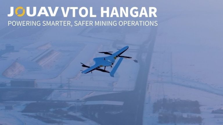
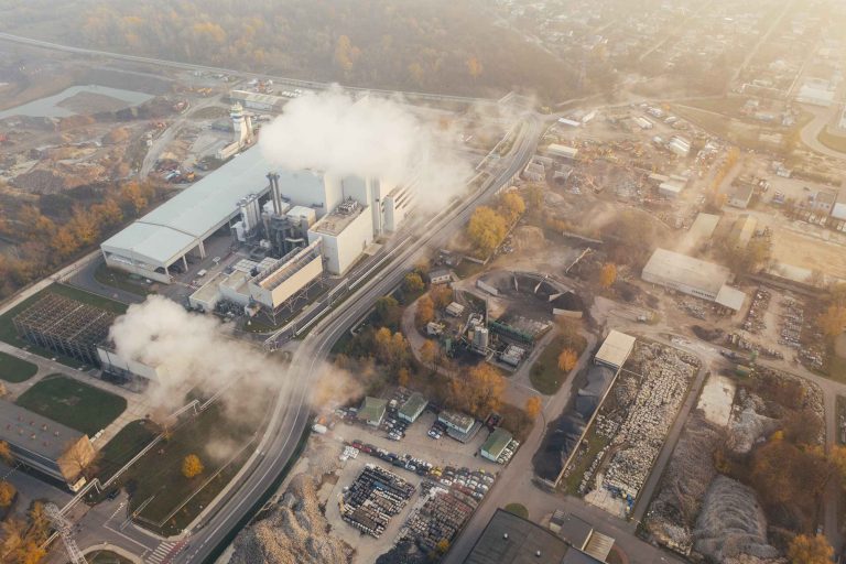
Smart mining demands smarter tools. The JOUAV VTOL Hangar empowers mining operators with autonomous, all-weather drone operations, providing reliable aerial intelligence across the entire mine lifecycle.
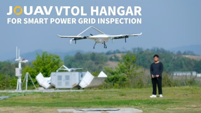
Discover how the JOUAV VTOL UAV Hangar brings fully autonomous operations to power grids:
Automatic takeoff & return;Smart patrol & hidden hazard detection;AI-powered data analysis & reporting;Automatic charging & 24/7 readiness
Case Studies
JOUAV drones in action, see how our drones are changing the industries with cutting-edge technology.

At 2:27 PM on a storm-lashed afternoon in July 2025, a small fishing boat capsized off the coast of Gulei, Zhangzhou.
Two men were thrown into violent waters. Winds howled at gale force. Waves surged

Chongqing’s Qinba Mountains are basically a giant green wall protecting the region. But there’s a problem – pine wood nematodes are eating through it. Fast.
The forestry department n

When TotalEnergies set out to build one of Southeast Asia’s largest solar and battery storage projects—spanning 12,000 hectares across the dense acacia forests of Riau, Indonesia—they faced a problem
Blog
Everything about drones.
So, can you fly a drone over people in 2026?
Short answer: yes—but don’t expect a free pass. Over the past few years, regulators like the FAA and EASA have fundamentally changed the game. They&#
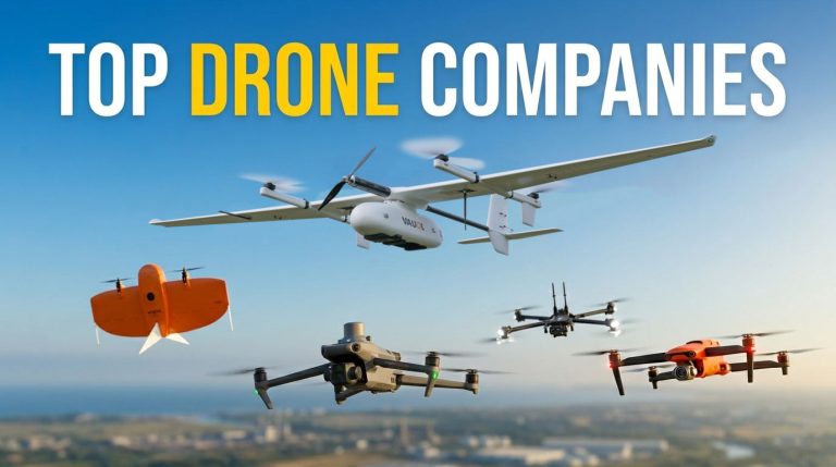
The drone industry isn’t just growing; it’s fundamentally reshaping how we work. According to recent data from Precedence Research, the global commercial drone market is set to hit $44.5 b
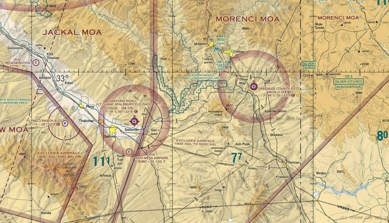
Class E airspace is everywhere, but it’s rarely obvious. It can start at the surface, at 700 feet, or at 1,200 feet—and if you’re a drone pilot, that difference changes everything.
So how do you read
Whitepapers
Learn how JOUAV drones help professionals solve problems and improve efficiency
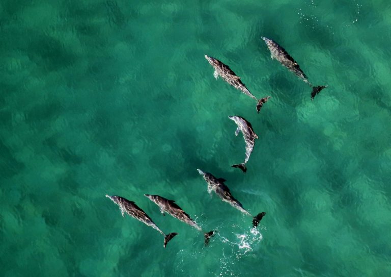
With industry and government support, MAUI63 operates AI powered and long range drones to track and protect Māui dolphins.
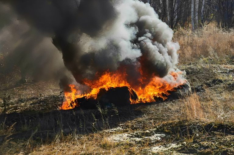
While drones application for firefighting has spread generally, JOUAV drones in particular have proven critical in fighting forest fire.
Lanzhou Institute of Resources and Environment Technology conducted magnetic surveys using JOUAV CW 25E.

JOUAV Product News and Use Cases
Fixed-Wing VTOL Drones Insights and Industry Trends
Invitations to online demo events