JOUAV Showcased Latest Drone Technology at CHINTERGEO 2024
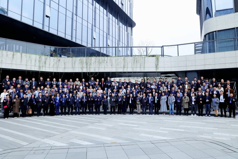
Zhengzhou, China – From October 15 to 17, the 2024 Annual Conference on Surveying, Mapping, and Geographic Information Science and Technology of China (CHINTERGEO) was held in Zhengzhou, Henan Province. Centered on the theme "Embracing New Productive Forces for High-Quality Development of Geographic Information – Ubiquitous, Integrated, and Intelligent," the event brought together leading enterprises, experts, and industry professionals to showcase the latest advancements, technologies, and applications in the field of surveying and mapping. The conference aimed to drive innovation and foster high-quality development across the industry.
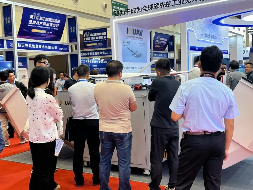
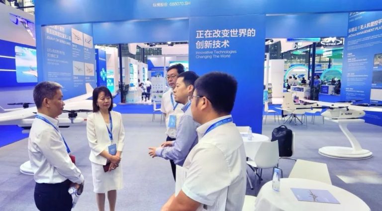
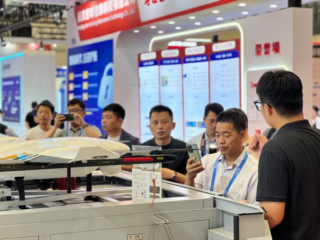
JOUAV, a leading player in the drone industry, presented several flagship products, including the CW-80E Satcom UAV System and the PH-20 Multi-Rotor UAV. Among these, the JOUAV VTOL Hangar emerged as a standout, drawing widespread attention for its cutting-edge technology and outstanding performance.
JOUAV VTOL Hangar System
The JOUAV VTOL Hangar System, the highlight of JOUAV's showcase, has undergone a comprehensive upgrade. It now offers capabilities such as automated drone inspection, autonomous charging, remote deployment, remote mission planning, and automatic data transmission. By significantly enhancing operational efficiency and precision while reducing labor costs and safety risks, the system broadens the scope of drone applications in the surveying and mapping field.
“This system brings new possibilities to the surveying industry,” said a JOUAV technical lead. “The JOUAV VTOL Hangar not only excels in complex scenarios but also exemplifies the future direction of intelligent surveying technologies.”
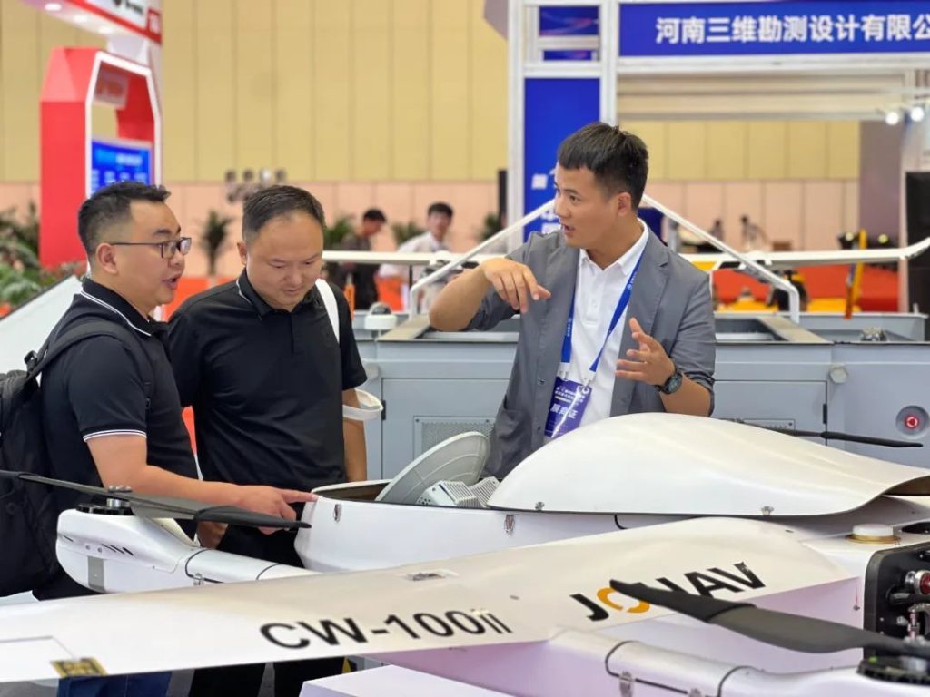
CW-80E Satcom UAV System
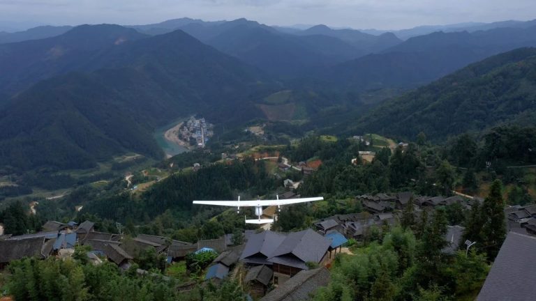
The CW-80E is designed for challenging terrains and long-distance missions, excelling in environments with "three disconnections" (power, network, and road). It provides stable communication support and beyond-line-of-sight real-time data transmission. Widely applied in emergency surveying, communication support, disaster rescue, reconnaissance, and search-and-rescue missions, it has proven to be a reliable asset for complex operations.
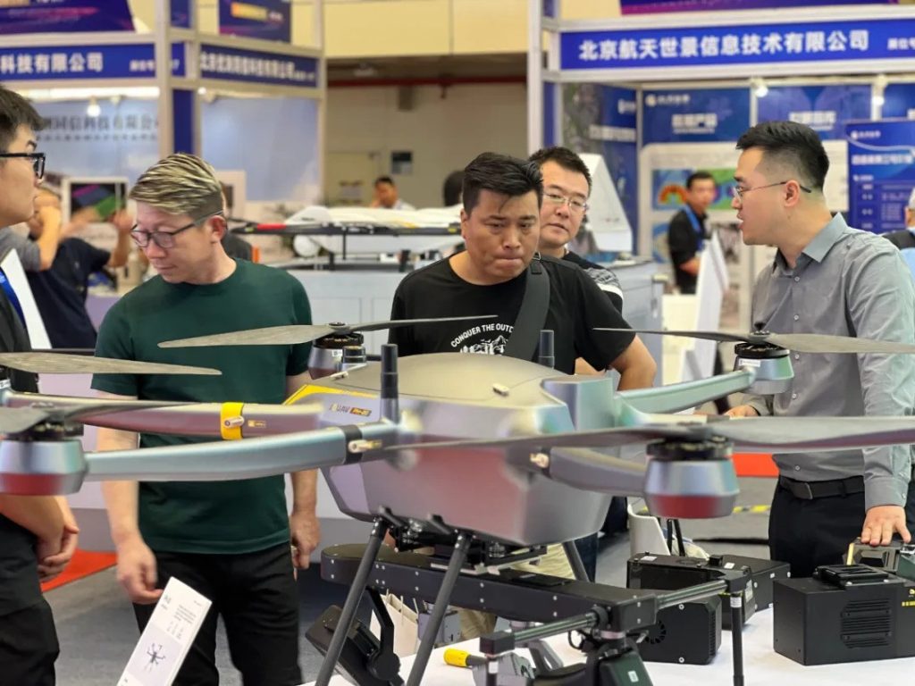
PH-20 Multi-Rotor UAV
The PH-20 features a six-rotor design with high payload capacity, extended flight time, excellent system integration, and reliability. It supports multiple payloads, including LiDAR systems, RGB cameras, oblique cameras, EO/IR gimbal cameras, and synthetic aperture radar, making it a versatile solution for diverse missions. Users can adapt the drone to their specific needs, offering unparalleled flexibility and multi-purpose functionality.
Real-Time Modeling Technology
JOUAV’s entire UAV product line incorporates advanced real-time 3D modeling technology. This system integrates aerial imagery data collection, broadband data transmission, and AI-powered real-time data processing.
During flights, drones can simultaneously gather, transmit, and model data, enabling the rapid creation of orthophoto maps, digital surface models, and realistic 3D models. This capability is particularly critical in emergency scenarios, providing decision-makers with accurate and immediate data to support disaster response, thereby enhancing operational efficiency and effectiveness.
Conclusion
The CHINTERGEO conference served as both a celebration of the surveying and mapping industry and a showcase for technological innovation. Through its display of groundbreaking products, JOUAV demonstrated its technological leadership in the field. With innovation at its core, the surveying and mapping industry is poised for tremendous growth, offering robust technical support for the high-quality development of the economy and society.


