JOUAV Drones Deliver Rapid Disaster Relief in Guangdong Floods
Guangdong, China, April 21, 2024 - In the wake of heavy rainfall and flooding that struck Shaoguan City in Guangdong Province in mid-April, JOUAV emergency response teams deployed quickly with their fleet of unmanned aerial vehicles (UAVs) to assist with disaster relief efforts.
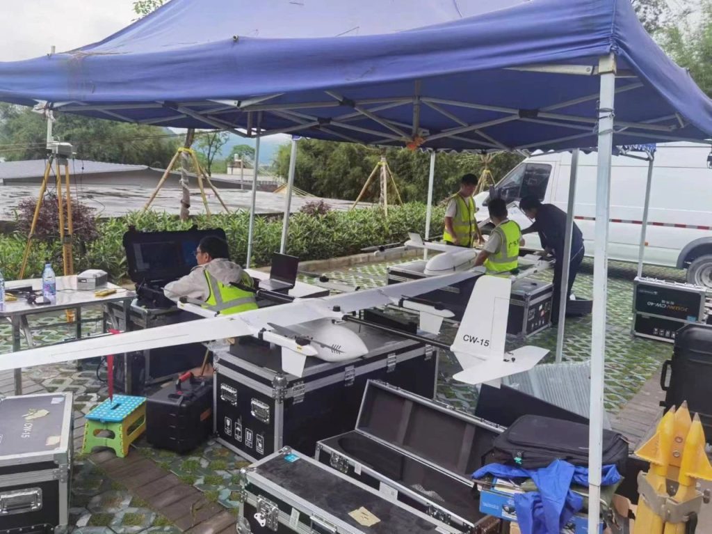
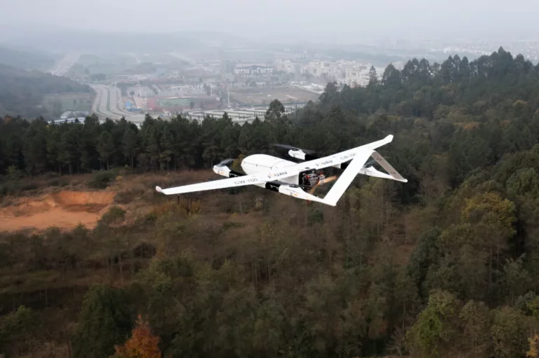
JOUAV's emergency response team arrived at the scene equipped with two UAVs, the CW-15 and CW-30E. Working collaboratively with local aviation groups, they conducted a comprehensive analysis of the disaster zone, including traffic conditions and mapping needs. This swift action ensured a well-defined flight plan for data collection.
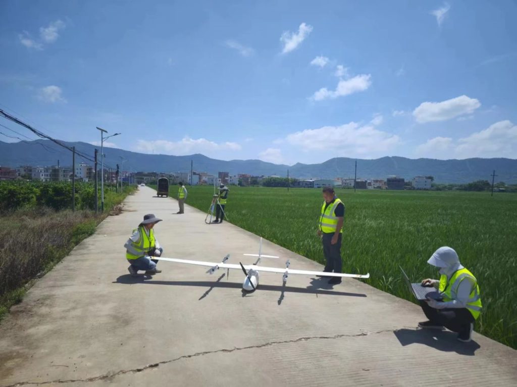
On April 21st, at 3:52 PM, a JOUAV UAV took off to capture vital data over the most severely impacted areas of Jiangwan Town. The mission successfully captured high-resolution aerial imagery data encompassing roughly 10 square kilometers at a resolution of 0.05 meters. This data was then processed to generate an emergency response map pinpointing landslides, damaged houses, and compromised roadways. This critical information was promptly delivered to relevant emergency departments for informed decision-making.
Continuing their mission through the night, JOUAV's UAVs completed high-resolution orthophotos (SAR) by 3:00 AM on April 22nd. These orthophotos, covering Lutan No. 1 (3-meter resolution), Gaofen No. 3 (10-meter resolution), and Chaohu No. 1 (1-meter resolution) near Jiangwan Town, provided valuable insights into the extent of flooding. The analysis derived from these orthophotos was promptly communicated to the Provincial Department of Natural Resources.
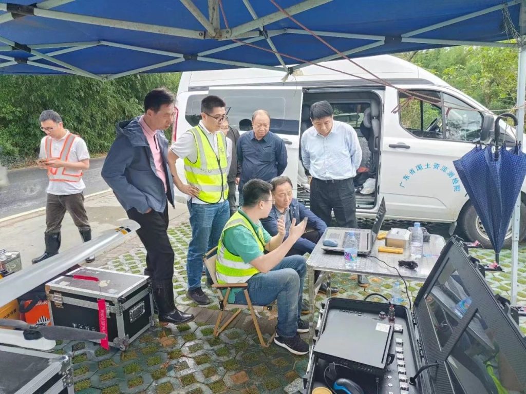
JOUAV's timely deployment of UAV technology demonstrates the crucial role that UAV emergency mapping plays in disaster management. This technology offers invaluable support throughout the disaster lifecycle, from preventative measures to emergency response and post-disaster reconstruction. Rapid access to accurate aerial imagery and precise geospatial data is paramount for understanding the disaster's impact, guiding rescue efforts, and conducting post-disaster assessments.
JOUAV's CW-15 and CW-30E UAVs played a pivotal role in the response to the Shaoguan flood disaster. Their ability to gather critical data and generate crucial maps was instrumental in supporting emergency response efforts and garnered high praise from participating units.


