JOUAV Commits CW-15D to Fight Guiling Forest Fire
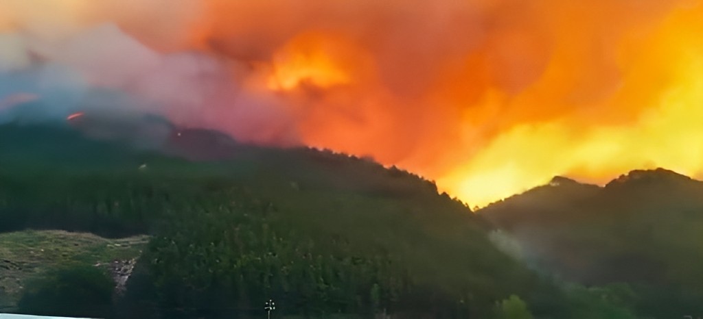
Over the past week, a massive wildfire has devastated several villages in Guilin city of Guangxi Province, China. Firefighters, first responders, local officials, and NGOs have made tremendous efforts to contain the fire and help the local village names affected.

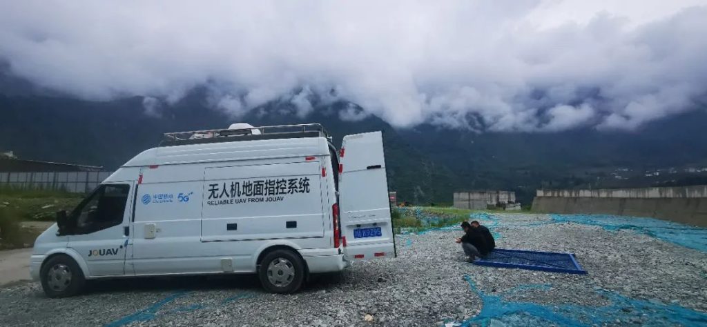
When the incident was first reported on October 18, the JOUAV emergency rescue team was immediately dispatched in the early morning hours and from that moment on, this small team of about a dozen people joined professional firefighters to do their best in the affected areas.

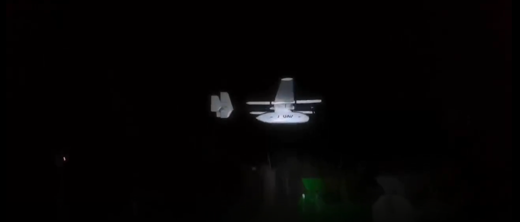
As the first team to arrive at the fire, JOUAV immediately deployed its CW-15D drone. After two flights, the drone captured detailed fire scene information from the scene and transmitted it back to the command center in real time, helping the incident commander quickly grasp the fire situation and make decisions on personnel and resource deployment.
"It was challenging in the first phase, lacking forces and resources, but most importantly, we knew very little about the size of the affected area. Then drones were used to monitor the fire in real time and we had a real-time aerial view of the affected area. Mr. Wang, head of the Guilin Emergency Response Center, said.
"This was accessible via webcast to both firefighters on the scene and the local command center to get accurate pictures of the scene and location tracking. We have an up-to-date overview of the affected area, the extent of the damage, and the force and resource requirements, and we can respond flexibly to changing conditions on the scene." Mr. Wang continues.
Based on real-time video and accurately located hotspots provided by CW-15D, three firefighting helicopters dropped a load of water on several hot spots, effectively protecting three important local resource bases. By 6:30 p.m. of that day, the fire band of about 6 or 7 kilometers long the night before was reduced to only four fire bands of about 500 meters and six scattered small fires.
"Once most of the fires were extinguished, our rescue team used a drone to locate and notify the fire brigade of smoke spots that could lead to re-ignition, completely containing the spread of the flames," said David Xu, leader of the JOUAV emergency rescue team.
Later that evening, members of the JOUAV emergency rescue team were still on the frontline of fire sites monitoring another fire zone.

"The thermal imaging capabilities of the CW-15D allow it to work at night and also see through smoke and other obstructions to get a more accurate picture of how the wildfire is changing and progressing down there," David said.
The rescue continues...
"Until we came back from the rescue scene, we hardly felt tired because we don't even have that time," said Mike Zhou, a member of the JOUAV emergency response team, "We felt very proud when we saw that with the help of our team, the fire was quickly extinguished and the lives and properties of the local people were saved."
"JOUAV is fortunate to be able to participate in rescue efforts, providing useful real-time information and safety for firefighters who are on the front fire scene. And there is still much to do and JOUAV will continue to be involved in supporting the recovery efforts throughout the disaster in the days ahead“, said Mr. Ren, CEO of JOUAV.
JOUAV has been involved in disaster response for many years, starting with the 2016 Henan floods. Since then, we've provided drone data collection for thousands of disasters around the world. From wildfire mapping to earthquake detection, to flood recovery, we continue to find new ways to make technology work in the most critical moments.


