JOUAV participated in InterGEO 2019
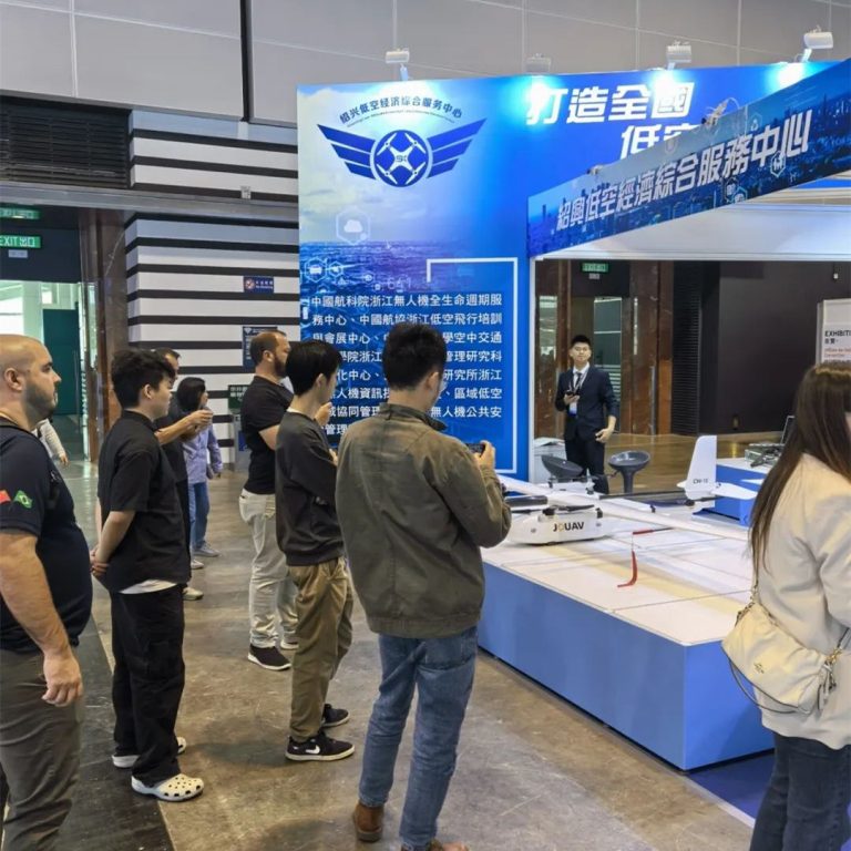
On September 17 this year, international Geospatial and Geoinformation Technology Exhibition (INTERGEO2019) hosted in Stuttgart Exhibition Centre. JOUAV took CW-007, CW-15 and JoLiDAR showed up in Stuttgart expo, bringing innovative aerial survey solutions to geographic information users around the world.
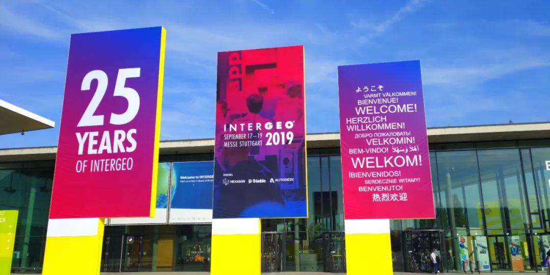
2019 was the 25th anniversary of InterGEO exhibition and the third time for JOUAV had participated in it. In the past three years, industrial UAVs has been integrating with traditional industrials, forming a new application mode of "+ UAVs" in mapping & surveying, power grid inspection, emergency relief, smart city, agricultural remote sensing and so on.
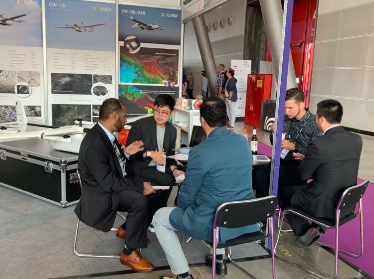
JOUAV CW series UAVs have two types —— electrically powered and hybrid powered, which are able to fulfill different missions with your demands. CW-007 is the smallest type suitable for the mission-type of mapping & surveying, agricultural remote sensing, emergency relief these kinds of work needs light payload and limited endurance for small area mission. But is there any other type of UAV if CW-007 could not reach to my requirements of mission? Here it is, CW-15, electrically powered drone as well, but larger payload and longer endurance, and definitely better performance. As the latest produce we launched in 2019, CW-15 wins the favor of users because of its high stability, high precision of data acquiring. Meanwhile, you’ll be amazed by its endurance that reach to 160 mins and payload up to 3kg means more choices in mission than CW-007 that enhanced operating efficiency and precision.
Despite electrically powered drones could satisfy lots of using condition, hybrid powered drones(or UAVs) with LiDAR must be trends of recent solutions for industry. JoLiDAR is an mounted LiDAR system that has attracted visitors in the expo. Obtaining accurate point cloud data and strong penetration of interferences, no restriction of external factors (such as natural light), intelligent processing results are advantages of JoLiDAR. It apply to basic M&S, says, highways work, and emergence M&S like geological disaster emergency mapping, forestry for resource surveying, urban construction for road planning, and power grad inspection, etc.
We’re so glad to be the greatest exhibition and have valuable communication with lots of brilliant guys who do contributions and achievements to the UAV industry. Thanks to all of you, we might be AUVSI XPONENTIAL 2020 in Boston next summer, as well as the next IngerGEO2020, and JOUAV will shows the efforts we made. For any information, please feel welcome to contact us.


