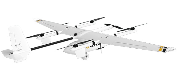
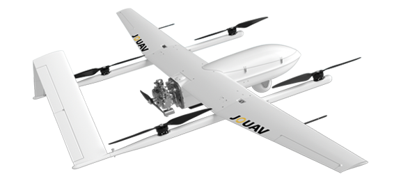
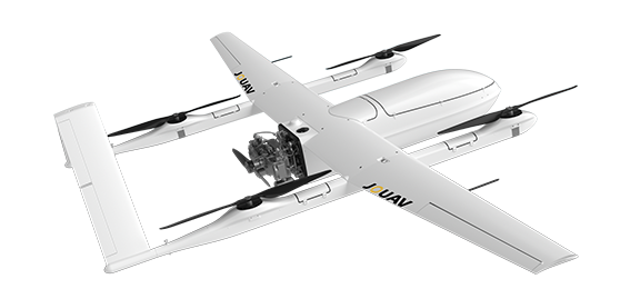
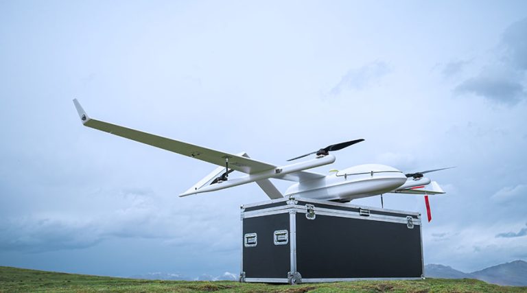
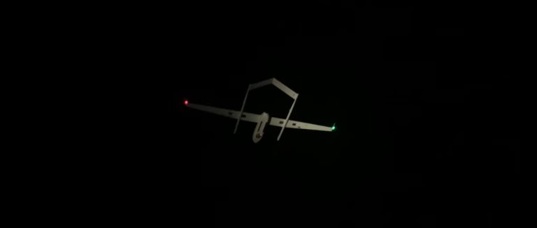
An ISR (Intelligence, Surveillance, and Reconnaissance) drone, also known as an ISTAR drone, is a national security aircraft used to gather and share battlefield information, enhancing situational awareness. These drones survey enemy terrain, monitor positions, assess battle damage, and ensure soldier safety.
ISR drones include multirotor, fixed-wing, and unmanned helicopters, operating at various altitudes and ranges, such as medium-altitude long-endurance (MALE) and high-altitude long-endurance (HALE).
Equipped with advanced sensors like thermal and optical IP cameras, these drones can detect, recognize, and identify objects even in GPS-jammed areas or regions with poor signals.
ISR drones are transforming military and security operations. Their ability to deliver real-time intel, comprehensive surveillance, and advanced reconnaissance makes them indispensable on the battlefield.
Long Endurance and Range
JOUAV drones are designed for extended missions, with a remarkable maximum flight time of up to 480 minutes and an impressive range of 200 kilometers.
This extensive endurance and range allow for prolonged surveillance and reconnaissance operations without the need for frequent refueling or battery changes.

Multiple Sensor Integration
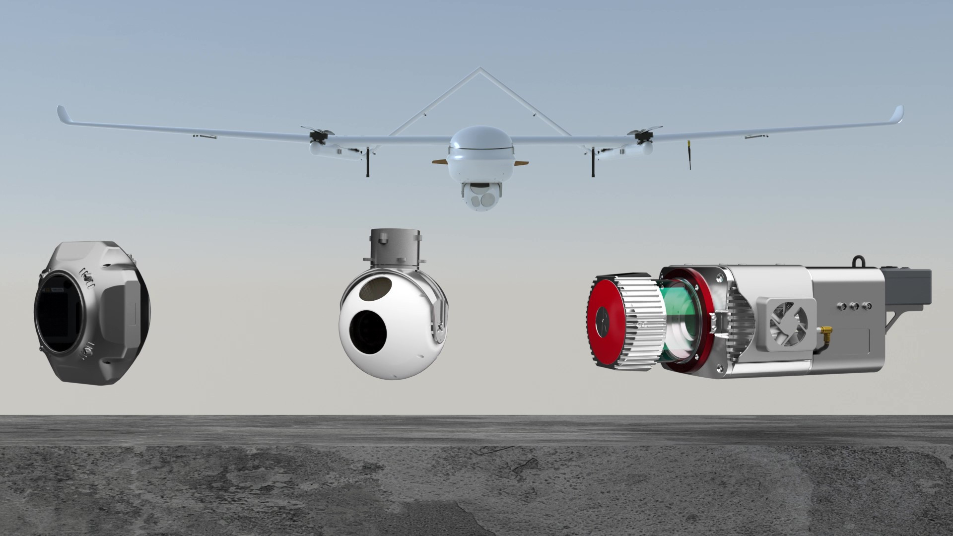
With a maximum payload capacity of up to 20 kg, JOUAV ISR drones can integrate multiple sensors to meet diverse mission requirements.
Equip it with the EO/IR gimbal camera for exceptional day/night vision. This camera combines a powerful 30x zoom optical camera for crisp daytime visuals with a 640x512 thermal sensor for clear night vision and haze penetration.
Need all-weather imaging? The JOUAV can also handle a SAR system, offering high-resolution radar images even in tough conditions.
Effortless Operation and Enhanced Safety
No complex piloting or training is required. Simply set your mission, and the JOUAV ISTAR drone takes care of the rest, navigating with precision and efficiency. Advanced sensors (GPS, IMU, etc.) enable real-time awareness and autonomous decision-making for safe, reliable flight.

Artificial Intelligence and Machine Learning
Leveraging cutting-edge intelligence and machine learning (AI/ML) algorithms, JOUAV drones can process sensor data in real time.
They excel at identifying and classifying threats and targets of interest, including aircraft, land vehicles, naval vessels, ground troops, and fire spots.
This advanced capability enhances situational awareness, intelligence gathering, and decision-making capabilities during missions.
Vertical Take-Off and Landing (VTOL)
JOUAV's VTOL (Vertical Take-Off and Landing) technology provides unparalleled operational flexibility.
Unlike traditional fixed-wing drones requiring runways, JOUAV drones can launch and recover from virtually any location, including confined urban spaces, rough terrains, or even aboard moving platforms like ships.
This allows for rapid deployment in dynamic situations and mission execution from unconventional locations.

Low Noise Level
JOUAV's CW-15 and CW-30E models are designed for minimal noise emissions, making them virtually silent during operations.
As a quiet drone, the CW-15 drone is inaudible on the ground at altitudes of 300 meters, while the CW-30E remains noise-free at altitudes of 500 meters.
This low noise profile enhances stealth capabilities, enabling covert surveillance and reducing potential disturbances in sensitive areas.
Ease of Use
Thanks to their modular design, JOUAV drones can be readied for a mission in as little as three minutes.
In conjunction with the Eagle Map mission planning and monitoring software, these drones execute missions in a highly automated manner, with the autopilot system making reliable, independent critical decisions.
Durable Reliability
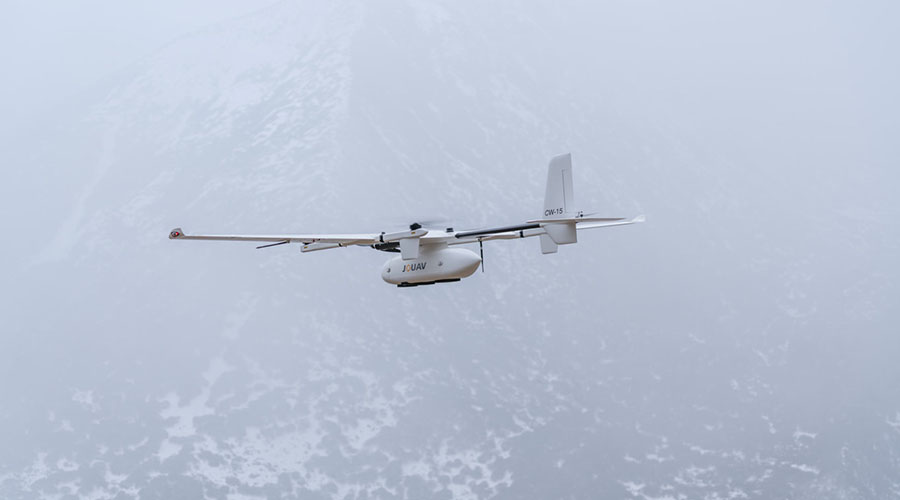
Built with high-quality carbon-fiber reinforced materials, JOUAV drones are rugged and reliable.
They can withstand strong winds of up to 13.9-17.1 meters per second, ensuring stability during adverse weather conditions.
These drones operate effectively in temperatures ranging from -20 to 50°C and can handle rain and snow, demonstrating resilience in challenging environments.
JOUAV ISR drones are a game-changer for ISR operations. Their unique combination of quiet operation, long range, and powerful sensors provides a significant tactical advantage across diverse scenarios.
Border Patrol
JOUAV's high-resolution cameras detect footprints and vehicle tracks, while thermal imaging helps identify potential intruders. This early warning allows border guards to react swiftly and effectively.
Search and Rescue
In a disaster zone, a JOUAV drone quickly takes off from a makeshift landing pad, its thermal camera searching for survivors amidst the wreckage. Real-time data feeds guide rescue teams to the most critical areas, saving valuable time.
Maritime Intelligence
JOUAV ISATR drones extend the reach of maritime patrols, covering vast swathes of ocean for illegal activities. Zoom cameras and AI fetures identify suspicious vessels at a distance. This comprehensive data empowers authorities to combat piracy, drug smuggling, etc.
Battle Field Reconnaissance
Cloaked in near-silence, a drone flies behind enemy lines, capturing detailed imagery of enemy positions and fortifications. This intel, delivered in real-time to commanders, enables them to formulate effective strategies and minimize troop risk.
JOUAV's CW Series is a fleet of high-performance VTOL drones built for diverse tactical applications. Explore the different models and find the perfect fit for your operational needs.
A Comparison of Payload Options
| Sensor | CW-15 | CW-30E | CW-80E |
|---|---|---|---|
| EO/IR gimbal camera | ✓ | ✓ | ✓ |
| SAR System | ✗ | ✓ | ✓ |
| LiDAR | ✓ | ✓ | ✓ |
| RGB camera | ✓ | ✓ | ✓ |
| Oblique Camera | ✓ | ✓ | ✓ |
JOUAV's Jocloud platform empowers operators to conduct smarter and more efficient Intelligence, Surveillance, and Reconnaissance (ISR) missions through a comprehensive suite of cloud-based tools. Here's how Jocloud optimizes your ISR operations:
Jocloud enables operators to plan and execute complex ISR missions with precision. It allows for setting waypoints, defining areas of interest, scheduling missions, and coordinating multiple drones for synchronized operations. This ensures efficient coverage of target areas and maximizes mission effectiveness.
Its low-latency, high-definition video transmission cuts through electromagnetic interference, providing crystal-clear, uninterrupted feeds. Commanders and analysts can access real-time video on any device – from command centers to vehicles and mobile phones – ensuring constant situational awareness in critical scenarios.
Jocloud's AI-driven recognition algorithms are tailored for intense scenarios, capable of identifying and tracking specific targets such as hostile vehicles, personnel, and equipment. Operators can utilize video tagging and augmented reality overlays to annotate critical information directly onto live video streams, facilitating rapid decision-making and target prioritization.
High-stakes missions generate vast amounts of data. Jocloud's secure data storage ensures that mission-critical information is archived safely for analysis and future reference. The platform's automatic generation of result reports streamlines post-mission analysis, providing detailed insights into operational activities, terrain features, and potential challenges.
JOUAV VTOL drones aren't just concepts – they're revolutionizing tactical operations worldwide. See how these powerful machines are transforming the way missions are conducted.
How Much is a ISR Surveillance Drone?
ISR surveillance drones can cost a wide range depending on their capabilities. Here's a breakdown:
- Low-end (around $700,000): These are typically smaller drones with shorter range and endurance, used for shorter missions or recon in less risky areas.
- Mid-range ($2 million - $10 million): These are more versatile drones with longer range and flight times, often equipped with multiple sensors for broader data collection.
- High-end ($10 million - $25 million+): These are top-of-the-line drones with exceptional range, endurance, and payload capacity. They can carry advanced sensors and operate for extended periods at high altitudes.
Are ISR Drones Electric?
Many of our drones, including some tactical UAVs, are powered by electric propulsion systems. These offer quieter operation and potentially lower emissions, which can be beneficial for specific missions.
What is the Mission of the Drone ISR?
The primary mission is to gather intelligence, conduct surveillance, and carry out reconnaissance to support strategic operations.
What is the Difference Between ISR and ISTAR?
ISR and ISTAR, though often used interchangeably, have a nuanced difference. ISR represents the foundation, the act of gathering information through various means like human intelligence or drone surveillance. It's about collecting raw data and processing it to understand a situation.
ISTAR takes ISR a step further. It incorporates target acquisition, the crucial step of identifying and pinpointing specific targets for further action. Imagine ISR as gathering intel on an enemy base, while ISTAR zeroes in on a high-value communications tower within that base.
The key difference boils down to target focus. ISR provides the groundwork, the broad picture. ISTAR sharpens that picture, identifying specific points of interest for engagement or further analysis.
What's the Difference Between Reconnaissance and Surveillance?
Reconnaissance focuses on gathering specific information about an area, person, or activity of interest. It's a targeted mission with a predefined objective, like determining enemy troop movements, assessing potential landing zones, or identifying specific targets within a compound.
Surveillance prioritizes continuous monitoring of an area, person, or activity. It aims to track developments, identify potential threats, and maintain situational awareness over a longer period. For instance, surveillance might involve monitoring enemy communication channels, observing a suspected terrorist safe house, or keeping watch over critical infrastructure.
Feel free to contact JOUAV. What we can help you:
