TO BECOME THE WORLD'S LEADING
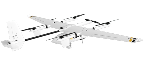
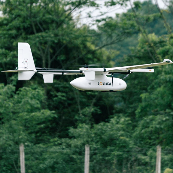
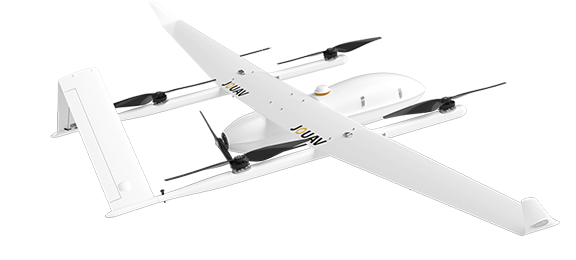
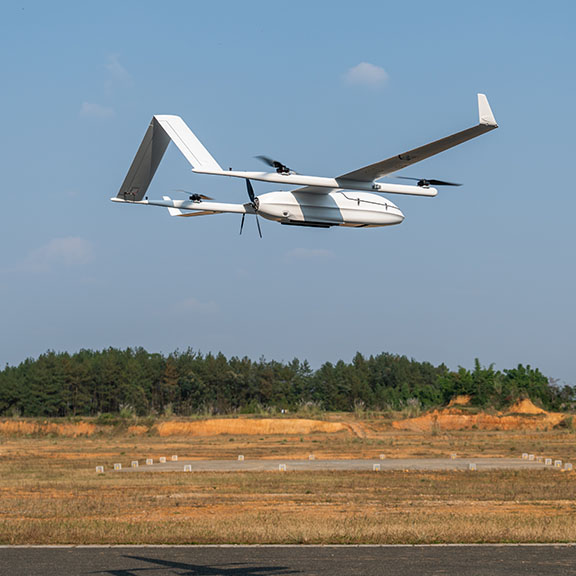
VTOL UAV Manufacturing Company& Industrial UAV Solutions Provider
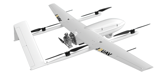
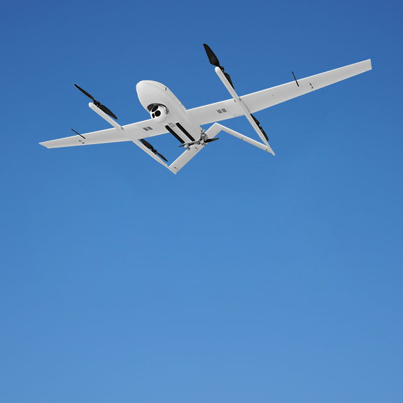
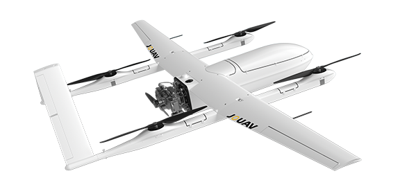
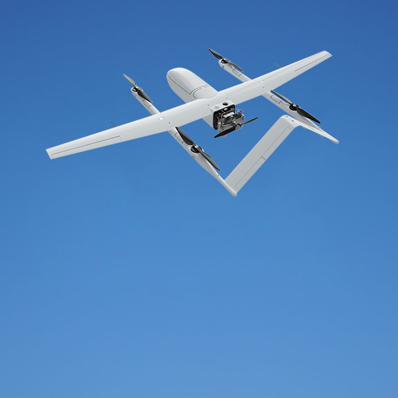
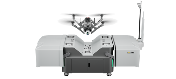
UAV Platform
Optional
Not Provided
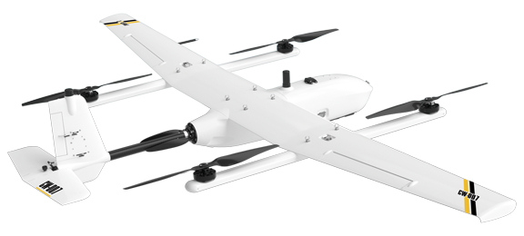
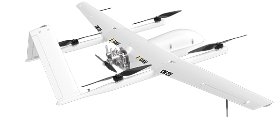
| CW-007 | CW-15 | CW-25 | CW-25E | CW-100 | |
| RGB Camera | |||||
| Oblique imaging UAV system | |||||
| Spectral Imaging System | |||||
| Real-time surveillance UAV system | |||||
| Lidar | |||||
| SAR system | |||||
| Aero magnetic UAV system | |||||
| Atmospheric monitoring UAV system |
PAYLOAD
JOUAV has extensive payload choices for different kinds of UAV platform, including LiDAR system, industrial aerial camera, oblique camera system, gimbal system and SAR, which can be applied in more industries.
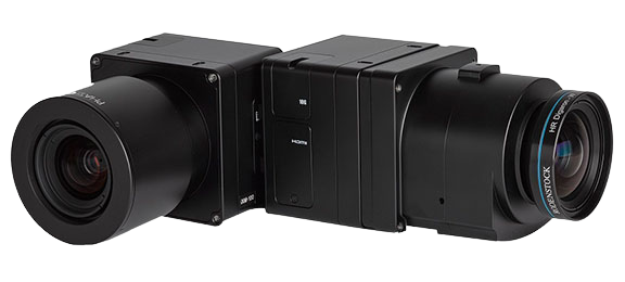
PhaseOne iXM Series Camera
High-resolution medium format cameras for mapping and surveying
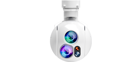
MG-120E EO/IR/LR Gimbal Camera
Lightweight 3-axis 30X optical zoom and thermal imaging with laser rangefinder
MG-150E EO/IR/LR Gimbal Camera
30x optical zoom and thermal imaging drone gimbal camera with 3km laser rangefinder
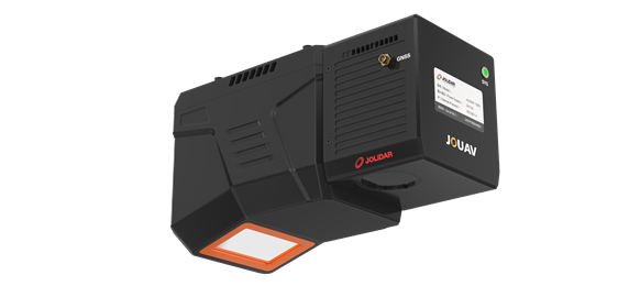
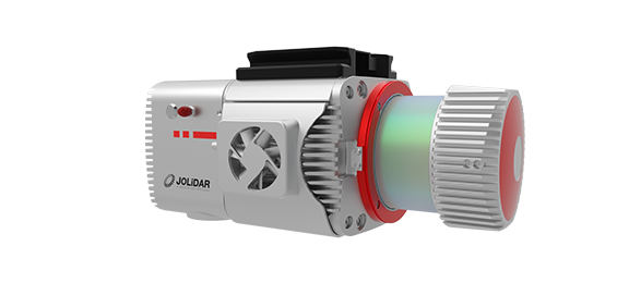
JoLiDAR-LR22
JoLiDAR-LR22 is a lightweight and long-range laser scanner for UAV surveying.
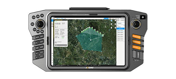
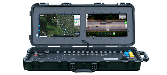
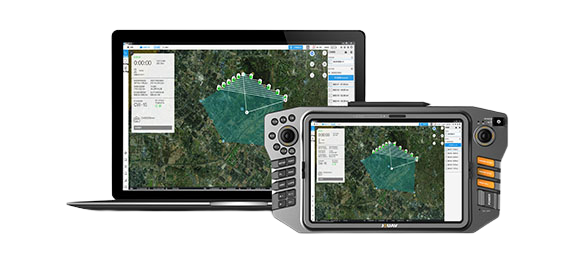
CONTROLLER
Portable and all-in-one ground control station
SOFTWARE
Powerful and easy to use drone software
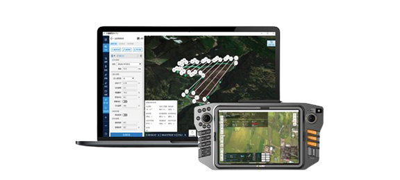
FlightSurv Drone Mapping software
Cloud-based drone mapping software for flight planning, data collection, processing, and analysis.
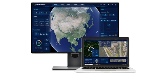
Eagle Map Drone Surveillance Software
An intuitive software solution to deploy drones' security and surveillance operations.
