Pengzhou’s rugged terrain, dense forests, and extreme weather conditions have long challenged ground-based threat detection and emergency response. Inaccessible areas and slow reaction times often ham
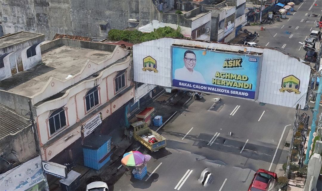
Serang, located within the Indonesian province of Banten and in close proximity to Jakarta, faces unique urban management challenges due to its high population density exceeding 1,200 people per square kilometer.
Traditional cadastral survey methods in such densely populated areas are not only time-consuming but also prone to errors, ultimately impacting the accuracy and reliability of data crucial for effective urban planning and management.
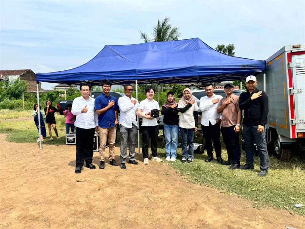
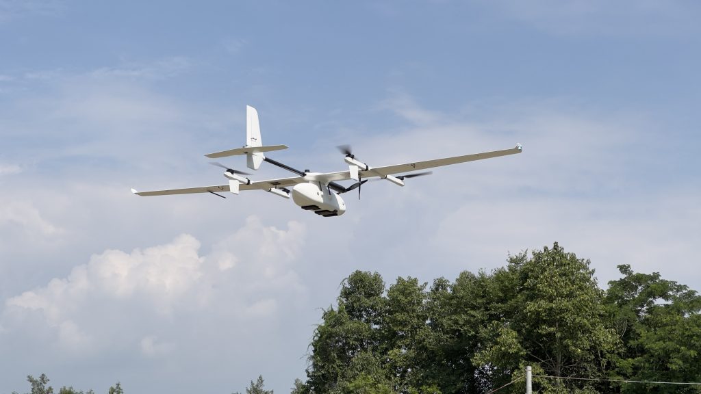
To overcome these challenges, the local land agency partnered with JOUAV and employed the cutting-edge CW-15 VTOL UAV equipped with the DG10 oblique camera for a comprehensive 3D mapping endeavor.
Project Overview:
| Company Name | Serang Land Agency |
| Location | Serang, Indonesia |
| Application | Urban Mapping |
| UAV Model | CW-15 |
| Payload | DG10 Oblique Camera |
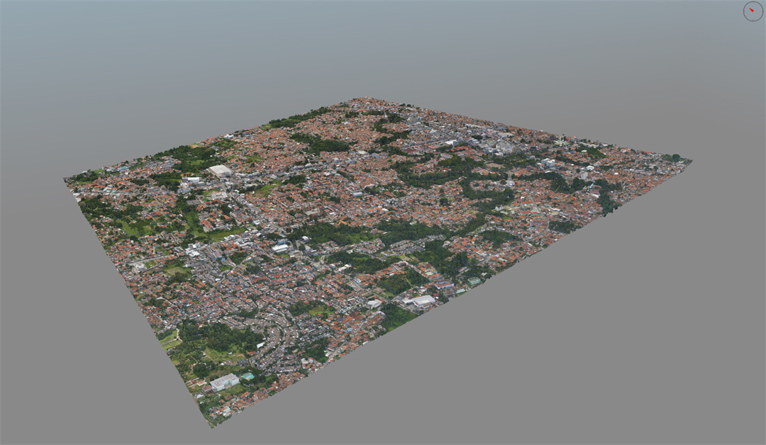
| Coverage Area | 6-7km2 |
| Ground Sample Distance (GSD) | 2cm |
| Flight Altitude | 265m |
| Image Acquisition | 14,555 |
| Data Processing Time | 8 Days |
Survey Area Introduction
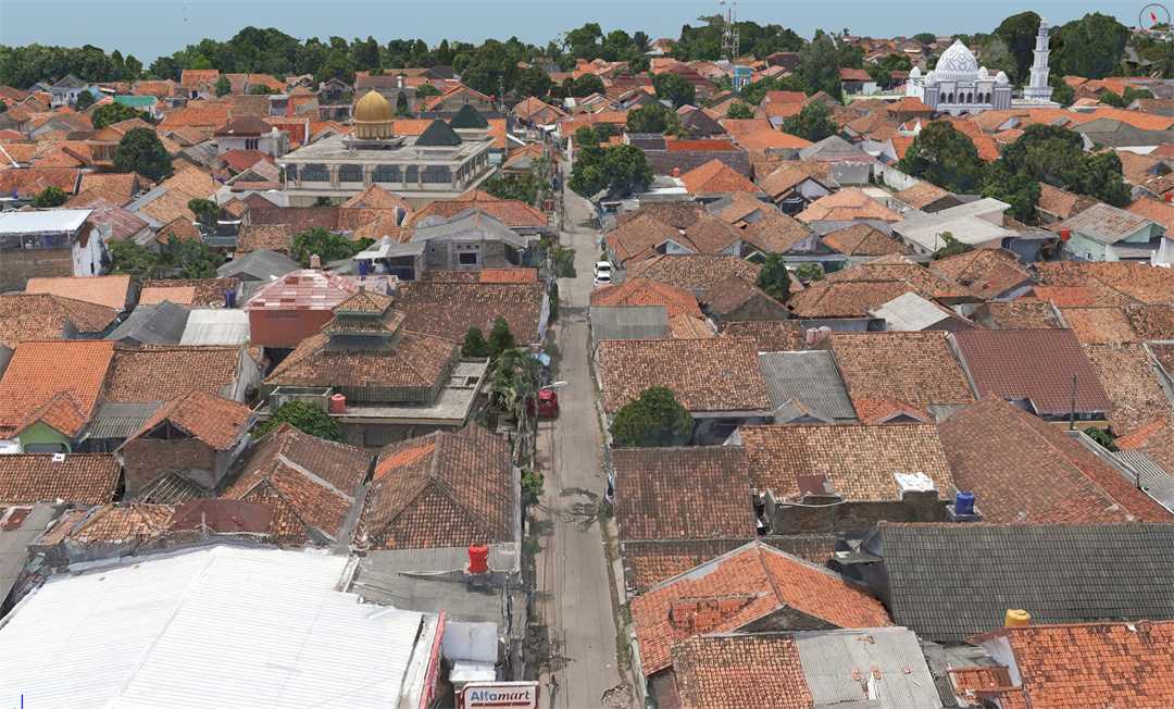
The survey area encompasses a diverse landscape, including densely populated residential areas, forests, grasslands, and flat terrain, with elevation differences within 40 meters.
Route Planning
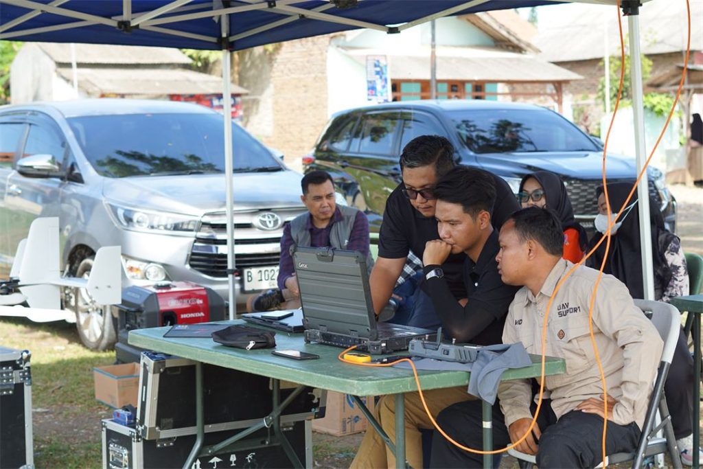
The team imported the survey area's KML into JOUAV FlightSurv, setting the flight altitude and checking basic parameters such as variable height, overlap, and laser point frequency. This enabled the automatic generation of survey area routes.
The cloud-based operation allowed for route sharing between operators, while the CW-15's Terrain following flight ensured uniform image data resolution, even under large height difference terrain.
Pre-flight Preparation and Execution
Prior to flight operations, meticulous pre-flight preparations were conducted. The takeoff and landing sites were strategically chosen for unobstructed views and minimal interference, ensuring safe and efficient operations.
Leveraging JOUAV's modular design, the CW-15 was swiftly assembled within minutes, with the DG10 camera seamlessly integrated into the mission bay. From unboxing to airborne readiness, the entire setup process took a mere 10 minutes.
Data Processing and Compatibility
The project acquired 14,555 aerial photos of uniform color and exceptional quality. Despite the high volume of data, the efficient data processing workflow was completed within 8 working days, meeting the client's stringent requirements.
More Use Cases
Guangxi Power Grid Company, in collaboration with JOUAV, has transformed transmission line maintenance in challenging terrains by implementing innovative drone-in-a-box inspection systems.
This soluti
Zhaoqing, located in the western part of Guangdong Province, China, is known for its diverse topography and complex geological conditions. The region’s mountainous terrain, characterized by stee

JOUAV Product News and Use Cases
Fixed-Wing VTOL Drones Insights and Industry Trends
Invitations to online demo events