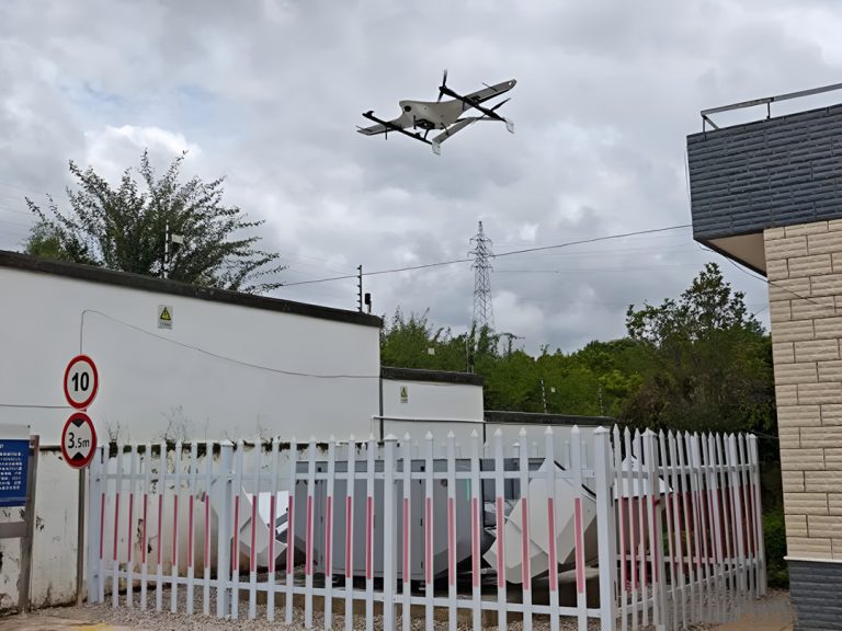
JOUAV PH-20 UAV LiDAR System for Monitoring Road Geohazard Risks
Zhaoqing, located in the western part of Guangdong Province, China, is known for its diverse topography and complex geological conditions. The region's mountainous terrain, characterized by steep slopes, rolling hills, and karst formations, makes it susceptible to various geohazards that pose risks to highway infrastructure.
Topographic hazards such as landslides, mudslides, and rockfalls are common in areas with steep slopes, especially during the rainy season. These natural events can severely damage roads, bridges, and embankments, leading to long-term disruptions and significant repair costs. Erosion, triggered by heavy rainfall and deforestation, can further destabilize slopes, contributing to landslides and soil failure risk.
In August, during the rainy season, JOUAV's PH-20 UAV equipped with the JoLiDAR-120 LiDAR system was deployed for a comprehensive geohazard survey in Zhaoqing.
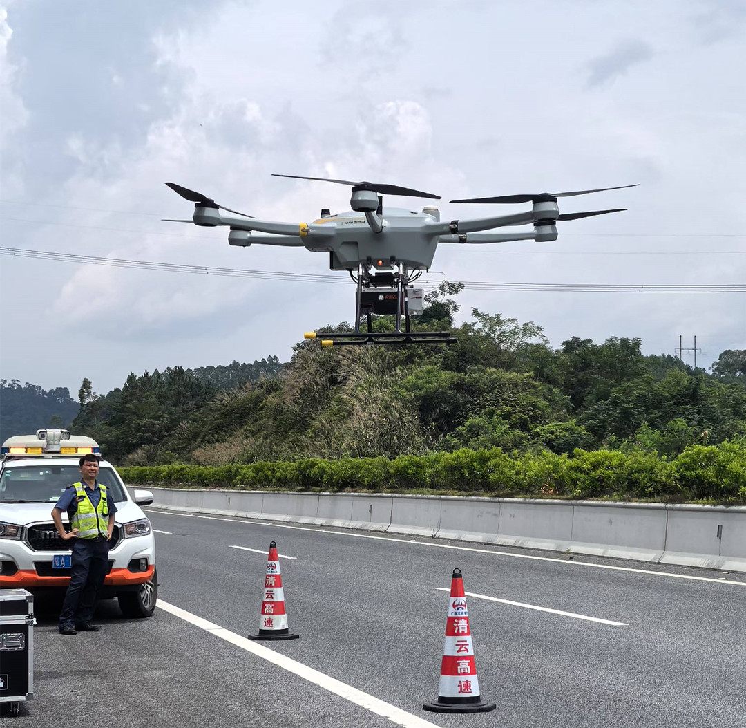
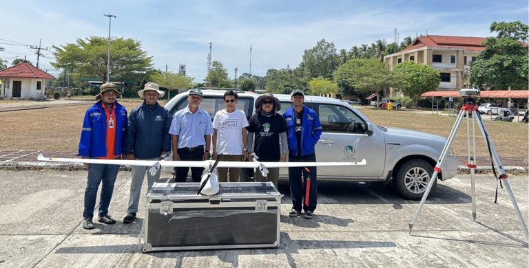
JOUAV's PH-20 UAV LIDAR system took off on an inspection mission on a highway in Zhaoqing, Guangdong province.
For a detailed visual overview of how the JOUAV PH-20 UAV and JoLiDAR-120 system were used for geohazard monitoring, watch the full video below:
Equipment: PH-20 UAV with JoLiDAR-120 LiDAR System
This system integrates high-precision airborne LiDAR scanning with high-resolution orthophotography to deliver detailed and accurate geohazard monitoring.
The JoLiDAR-120 is equipped with Nadir-Forward-Backward (NFB) scanning LiDAR, offering a 100-degree field of view for broad coverage in a single flight. Its Inertial Measurement Unit (IMU) ensures precise geospatial data despite drone movement, while the 26 MP RGB camera provides high-resolution imagery for enhanced surface analysis.
With a pulse repetition rate of up to 2400 MHz, it excels at high-density corridor mapping, detecting subtle terrain changes critical for identifying early-stage geohazards. The system’s dual data capture—LiDAR and imagery—ensures a comprehensive understanding of the terrain.
With a 55-minute flight time, the PH-20 efficiently covers large areas, offering a precise, safe, and efficient solution for large-scale geohazard assessments.
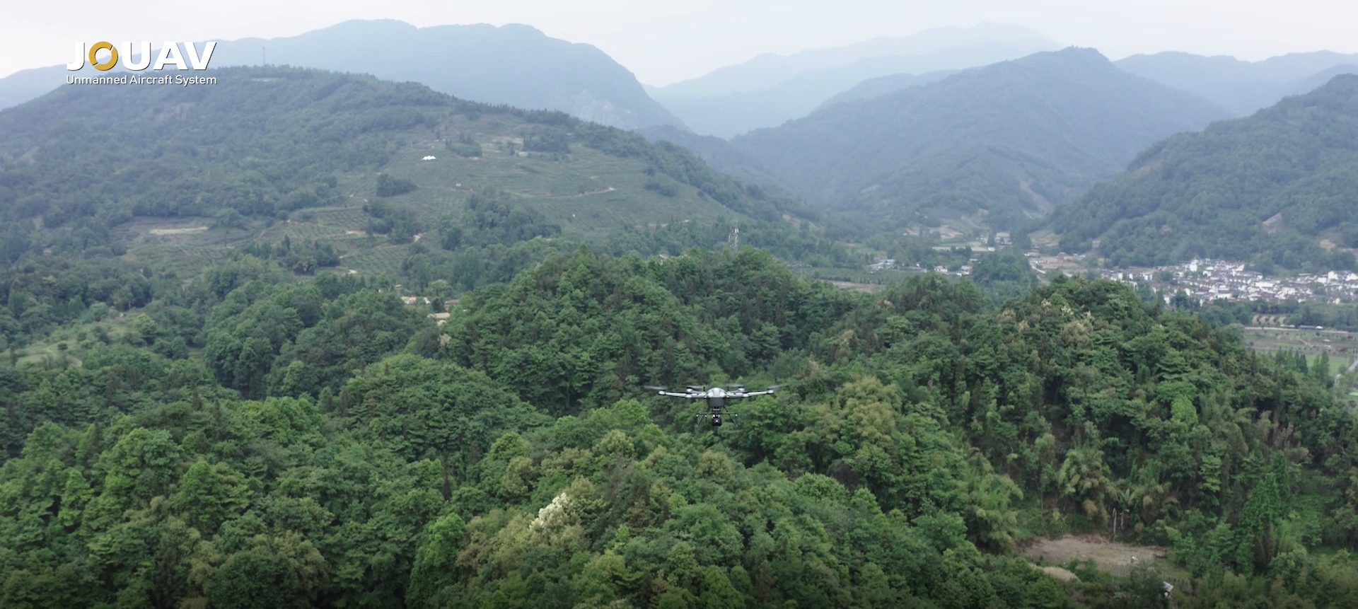
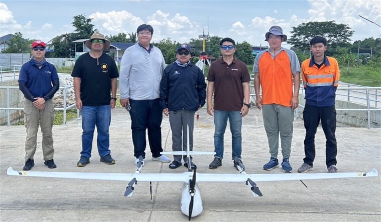
JOUAV's PH-20 UAV LiDAR system, flying over the rugged mountainous forests, captures high-resolution data with precision.
Location of the Survey
The geohazard monitoring surveys were conducted in two distinct locations within Zhaoqing City, Guangdong Province, each offering unique terrain challenges. The first survey was carried out in Lubu Town, Gaoyao District, a region spanning 2.6 square kilometers characterized by hilly terrain and man-made highway slopes.
This area was selected due to its typical landform, where highway infrastructure might be prone to geohazard risks such as landslides or slope instability.
The second survey took place in Huangtian Town, Sihui City, with a smaller monitoring area of 0.8 square kilometers. This region was chosen for its combination of natural slopes and man-made engineering features, including a highway with artificially reinforced slopes, which could pose additional risks.
The survey also included two slope patrols to monitor specific areas of concern previously showing signs of instability. Both locations provided a varied landscape for testing the UAV’s geohazard monitoring capabilities.
Data Collection and Results
The PH-20 UAV, equipped with the JoLiDAR-120 LiDAR system, was deployed for geohazard data collection, operating at a flight altitude of 200 meters and a speed of 10 m/s.
The flight parameters were carefully calibrated to ensure comprehensive coverage and high data density, enabling detailed analysis even in areas with complex topography.
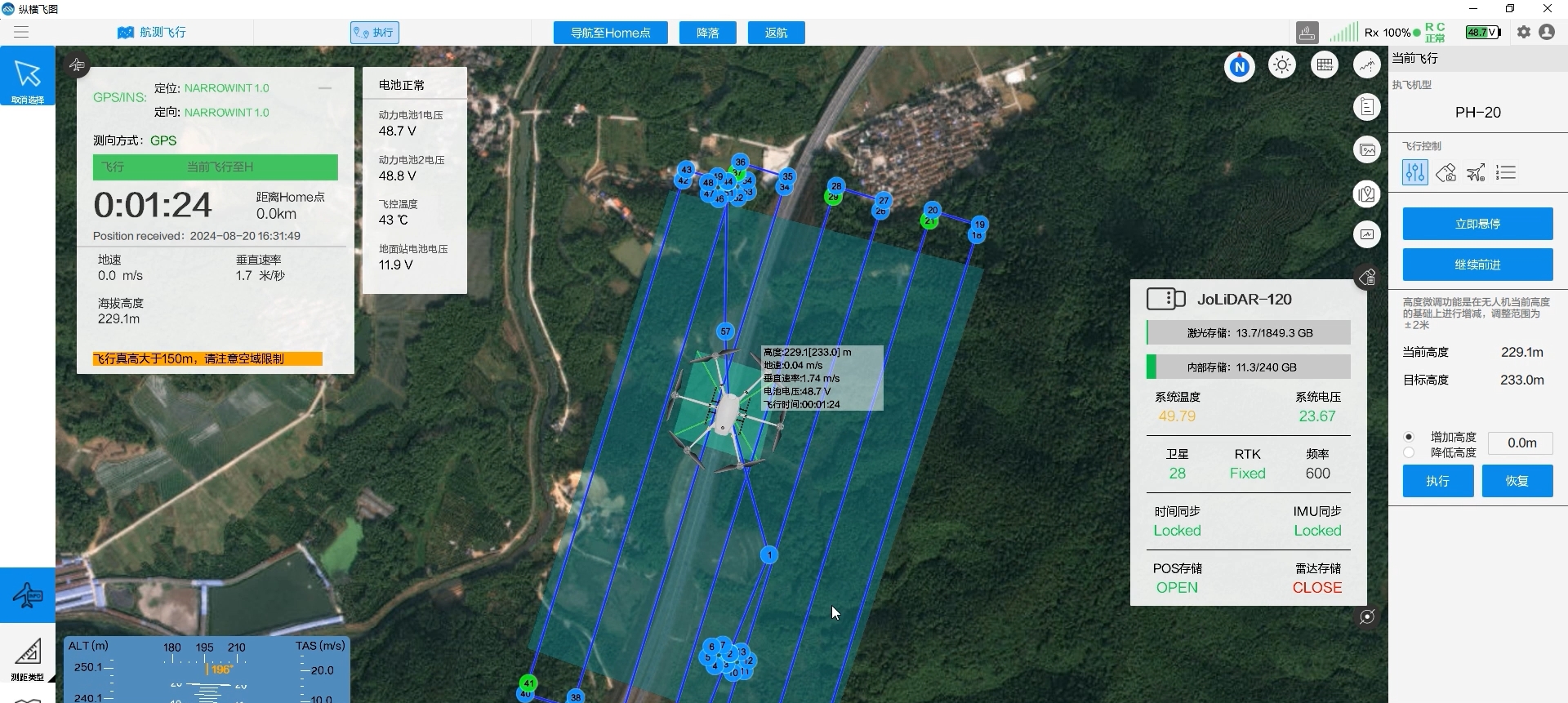
JOUAV's FlightSurv software optimizes flight paths for precise mission execution, adapting to terrain and survey needs. It enables real-time flight status monitoring and manages LiDAR data collection, ensuring high-quality, accurate results for geospatial analysis.
Parameter | Value |
Flight Altitude | 200m |
Flight Speed | 10m/s |
| Heading Overlap | 70% |
| Side Overlap | 72% |
Altitude Above Ground Level (AGL) | 1260m |
Transmit Frequency | 600 kHz |
Scan Speed | 178 lines per second |
Scanning Bandwidth | 477m |
Point Density | 105 points per square meter |
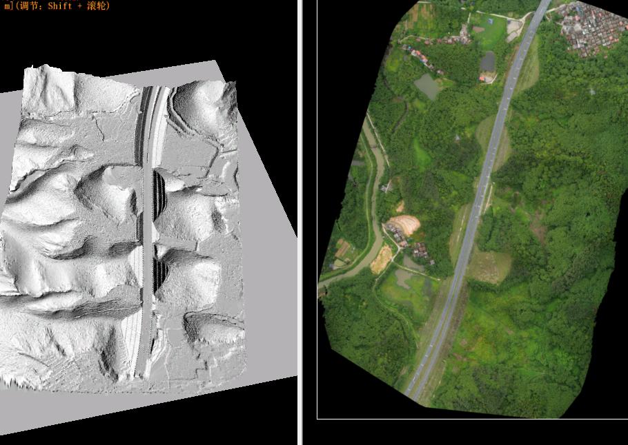
Once the data was collected, it underwent detailed analysis combining the LiDAR point cloud data with digital orthophotography. This integrated approach allowed for a more thorough examination of the surveyed area, as the LiDAR data provided accurate 3D measurements of the terrain, while the orthophotography offered clear, visually interpretable surface details.
Results from Lubu Town:
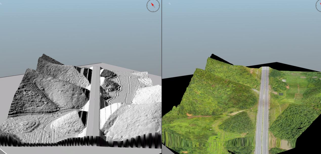
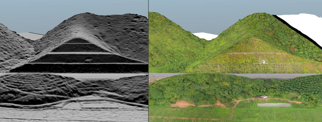
In Lubu Town, analysis of the 2.6 square kilometers of monitored terrain showed a stable geological environment. No evidence of secondary geological hazards, such as landslides, mudslides, or ground collapses, was detected, indicating a low risk of significant geological disasters in the short term. LiDAR data highlighted the predominantly hilly topography, with stable, well-engineered, man-made highway slopes.
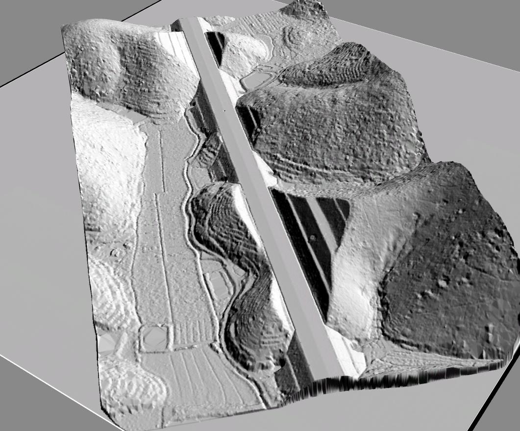
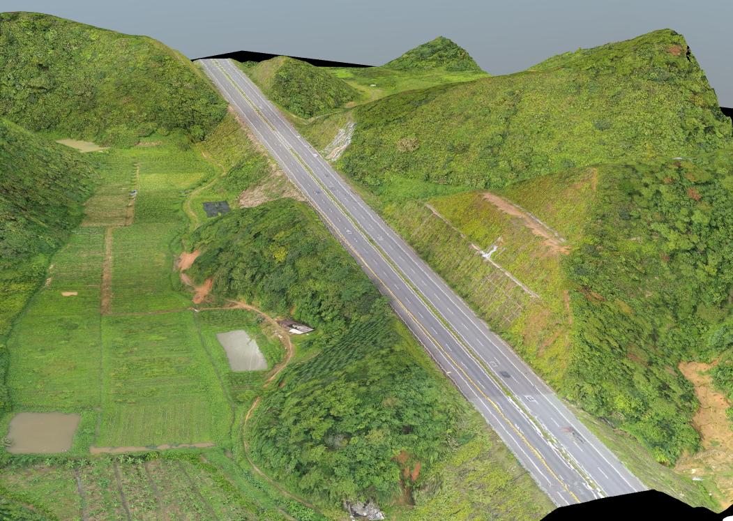
The region displayed no notable geological anomalies, such as steep slopes or unstable rock formations. Structural analysis further confirmed the absence of fracture zones, weak interlayers, or tectonic issues, reinforcing the area's overall stability.
Results from Huangtian Town:
In Huangtian Town, LiDAR data revealed natural slopes ranging from 10° to 30°, which inherently elevate the risk of geohazards. A highly detailed digital elevation model (DEM) provided a three-dimensional view of the terrain, highlighting natural features like gullies and ridges—key indicators of potential landslide-prone areas.
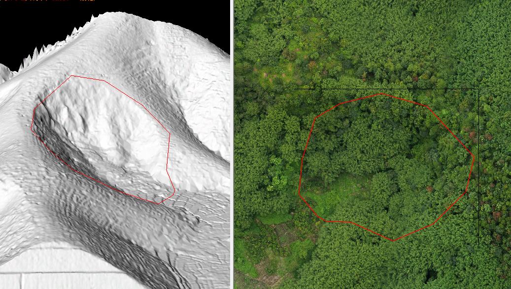
The analysis identified a landslide hazard spanning 14,724 square meters, about 300 meters from the highway. This posed a potential threat to nearby infrastructure, particularly the highway. High-resolution LiDAR data precisely mapped the location and extent of the landslide, enabling targeted mitigation strategies.
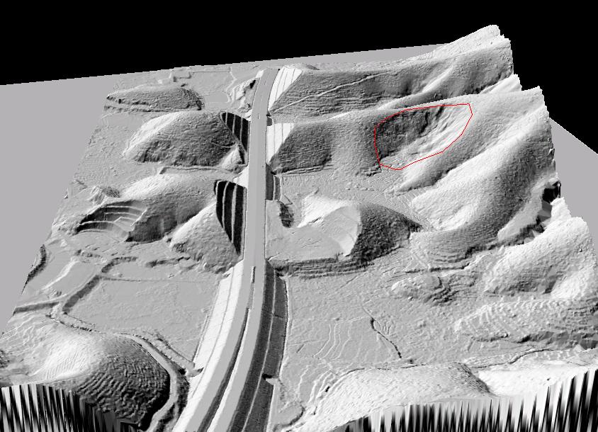
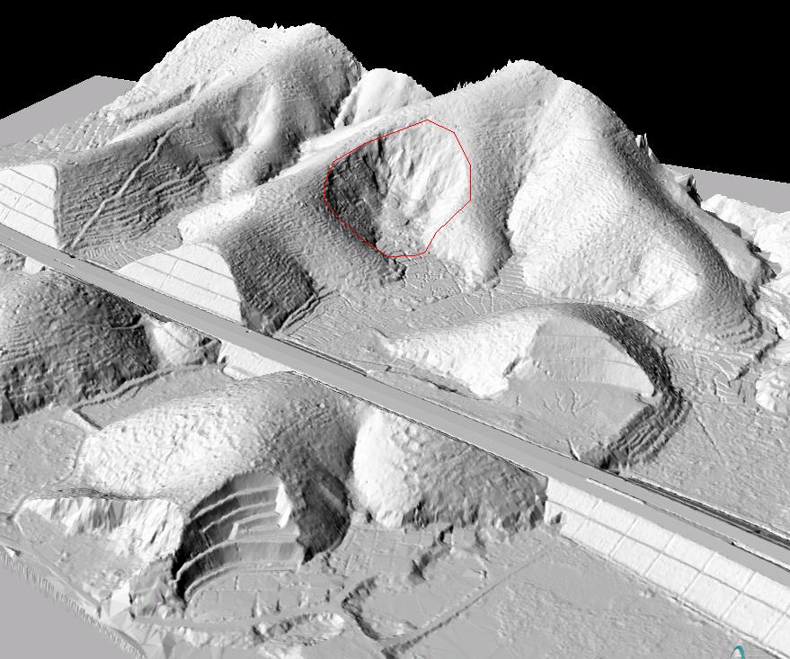
Furthermore, man-made influences, including artificially reinforced highway slopes, exacerbated instability, underscoring the need for continuous monitoring and maintenance.
