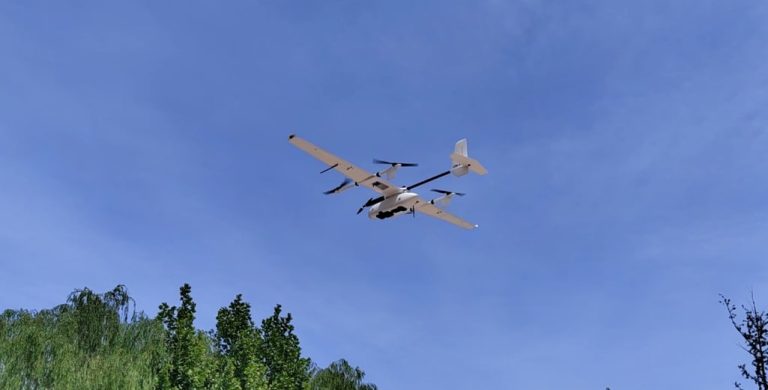
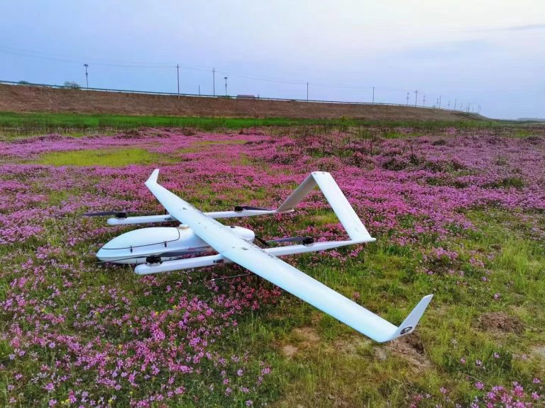
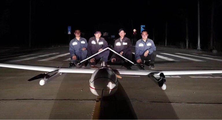
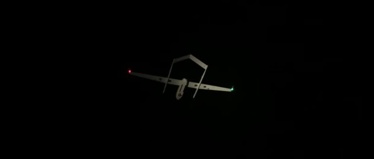
On May 16, 2023, Beijing Anzhou Technology Co., Ltd. conducted a flight test in an agricultural demonstration area in Yanzhou District, Jining City, Shandong Province. The goal of the flight test was
Filter
Drone Model :
Industry :
Payload :
Inner Mongolia Western Natural Gas Co., Ltd. (IMWNGC) is a Chinese energy company that specializes in producing and selling natural gas. Founded in 2005, the company is headquartered in Hohhot, Inner
Weinan City, located in the eastern part of Shaanxi Province, China, launched the Weinan Xueliang project in 2016. The project aimed to improve urban public security and build a safer, more convenient
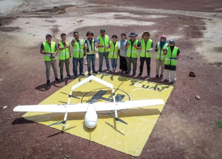
In the tropical regions of Malaysia, landslides and geological hazards are major concerns for residents. The unpredictable weather patterns and natural disasters cause significant damage to property a
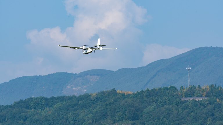
Recently, the company conducted a pilot project to test the effectiveness of UAV inspections in areas of high altitude and heavy ice. Using the JOUAV CW-25E drone, they were able to collect LiDAR data for 52 km of power lines in just two hours.
As the star product of JOUAV, CW-15 is loved by users from all over the world. After using CW-15 for a long time, see what users from all over the world say."Reliable and stable."Mr.Feng Engineer, Sha
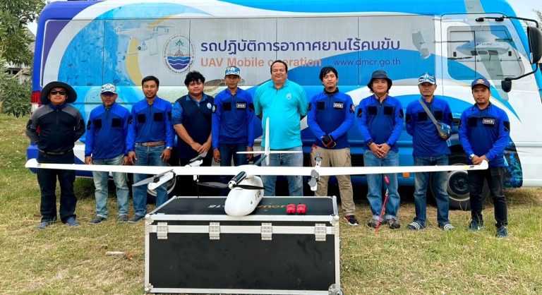
DMCR made use of JOUAV CW-15II VTOL drone and conducted a Proof of Concept (POC) test, where they achieved outstanding results. This case study will outline the solution and the outcomes that DMCR achieved.
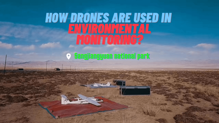
This case study examines how drones were used to monitor the Sanjiangyuan lakes and wetlands, snowy mountains, and grassland desertification, as well as the benefits and challenges of this approach.
Guangdong Police Dept is increasingly using AI drones to monitor port areas and coastal areas. This involves not only surveillance to combat contraband smuggling, but also providing aerial assistance
