How is Topography a Limiting Factor to Agriculture?
Topography—physical characteristics of the Earth's surface—is one major determinant of agricultural potential.
Steep slopes make cultivation of crops very difficult, increasing the risk of soil erosion and making farm equipment difficult to maneuver.
High altitudes are usually associated with severe climates and thin soils, posing a huge challenge to plant growth.
In the low-lying areas, poor drainage leaves fields waterlogged, drowning crops and impairing productivity.
But the influence of topography extends far beyond the physical. The very character of the soil—its depth, texture, and fertility—is deeply intertwined with the shape of the land.
This article looks at how topography challenges agriculture, the factors involved, and practical solutions to these obstacles, including state-of-the-art drone technology for land analysis and planning.
What is Topography?
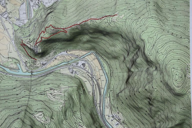
Topography refers to the physical features of the land: shape, elevation, and slope. It could be described as a sort of detailed map, revealing any given hills, valleys, and rivers, even types of soil.
Knowledge of topography is quite crucial in agriculture because it directly influences how crops will grow, what types of crops may be planted, and how one can best manage a given piece of land.
Topography is normally used together with soil mapping in determining the distribution of soil types over a farm. This information aids the farmer in making informed decisions on crop selection, irrigation, and land management.
For example, lands with poor drainage may require modified irrigation techniques, and steep slopes may need soil conservation measures to reduce erosion.
In essence, topography acts as a blueprint for agricultural planning. Farmers now understand the physical characteristics of their lands, so they can optimize crop yields, protect the environment, and put into practice appropriate measures to meet the particular challenges that go with each field.
Types of Topography in Agriculture
Each type of topography brings with it peculiar characteristics that have a bearing on water availability, soil quality, sunlight exposure, and, consequently, agricultural potential. The main types of topography relevant to agriculture include:
Flat Areas
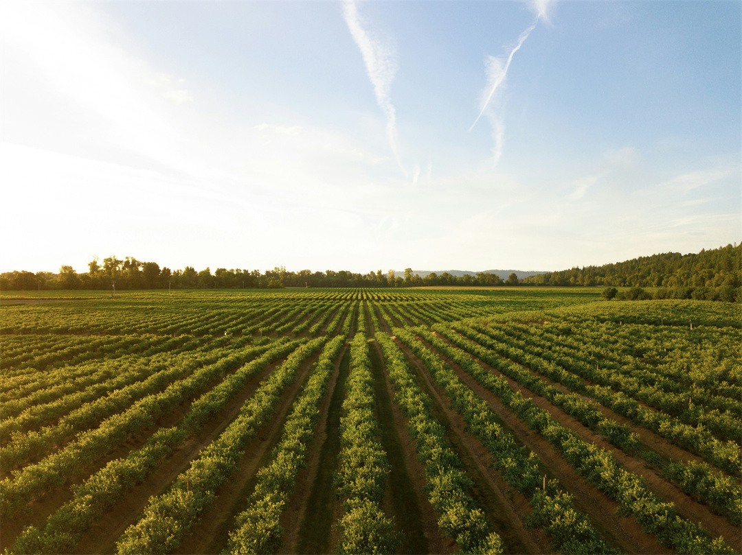
Flat terrain is characterized by relatively level land with little elevation change. Such regions are highly suitable for large-scale farming because they have unrestricted movement of machinery, effective water irrigation systems, and equal growth of crops. Besides, leveled areas receive equal sunshine because of the lack of shading; thus, there would be optimum photosynthesis.
Hills
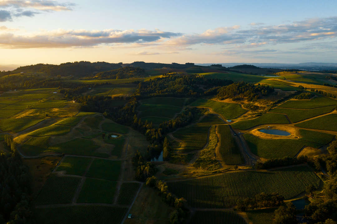
Hills are moderately elevated areas with gentler slopes than mountains. They often serve as transition zones between highlands and lowlands. While the hills may prove difficult to farm due to erosion risks and uneven surfaces, they are ideal for practices such as contour farming and growing crops suited to well-drained soils.

Mountains
Hilly areas have steep slopes, considerable elevation, and rugged peaks. These areas are less suitable for traditional farming but do accommodate practices such as terracing and the cultivation of hardy crops like tea, coffee, and certain grains. Mountains also disrupt the flow of rivers, causing them to create fertile valleys at lower elevations.

Plateaus
Plateaus are flat or gently sloping highlands that balance elevation with usability. They usually get the most priority in farming because they present large expanses of arable land with better drainage than the flat plains. Among the common plateau farming products, one can count wheat, maize, and sugarcane.
Valleys
Valleys are the areas that lie between hills or mountains. Most of them are traversed by rivers, therefore tending to be fertile since the deposited alluvial soil is nutrient-rich. These regions best suit irrigated farming and support such crops as rice and vegetables. Valleys also act as natural waterway passages and settlement areas for agricultural communities.

Coastal Areas
Coastal regions have flat to gently sloping land adjacent to oceans or seas. The regions share relatively temperate climates, which are well adapted for agriculture to grow crops like coconuts and rice tolerant to salt. Coastal agriculture also involves aquaculture and mangrove cultivation within tidal zones.
Wetlands
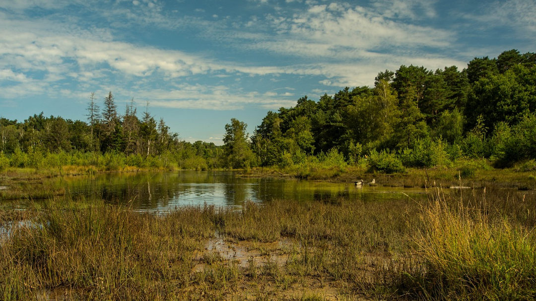
Wetlands refer to the generally low-lying areas, having high water tables or standing water, which frequently form marshes, swamps, or bogs. Such areas are especially important for growing water-intensive crops such as rice. Wetlands also help control floods besides providing a habitat for several ecosystems, thus complementing agricultural activities.
How Does Topography Affect Agriculture?
Topography molds the physical and environmental setting of agriculture by determining drainage patterns, soil depth, and microclimates that influence crop and animal productivity.
Slope
The slope or angle of the land surface is one of the key factors in agricultural production. Steep slopes are problematic to farm because they often have limited water infiltration and are prone to erosion.
In sloping lands, the water immediately runs off, taking with it topsoil and nutrients, hence reducing the soil's productivity. Also, steep slopes are inconvenient to work on because using machinery will be more tricky in planting, caring for, and harvesting the crops.
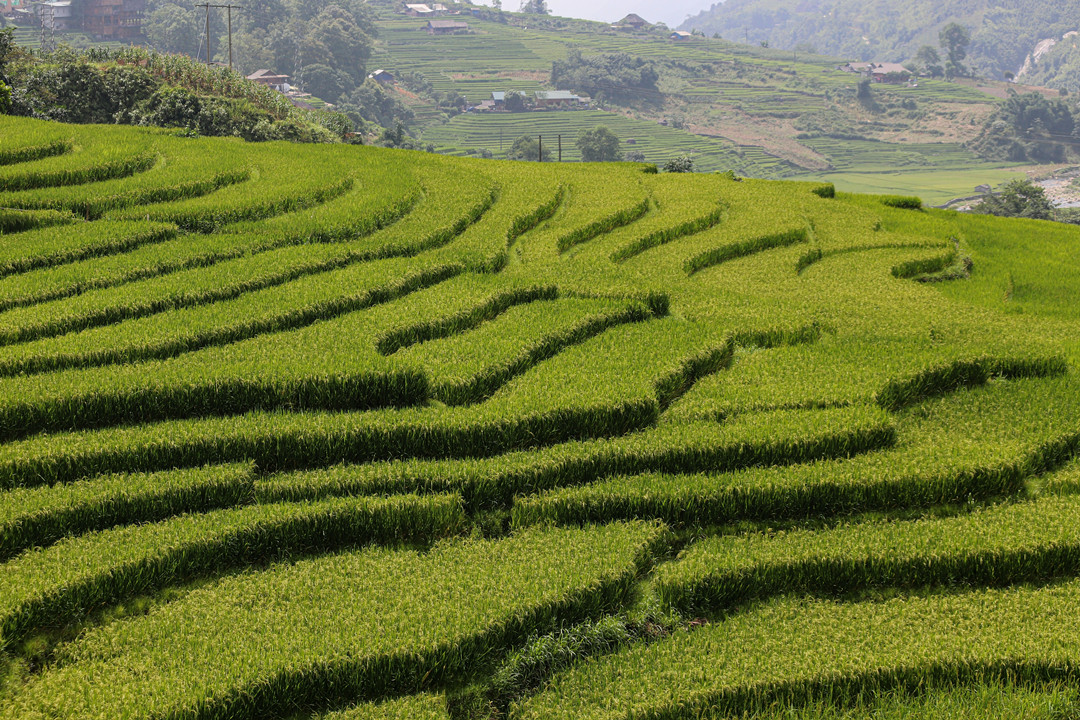
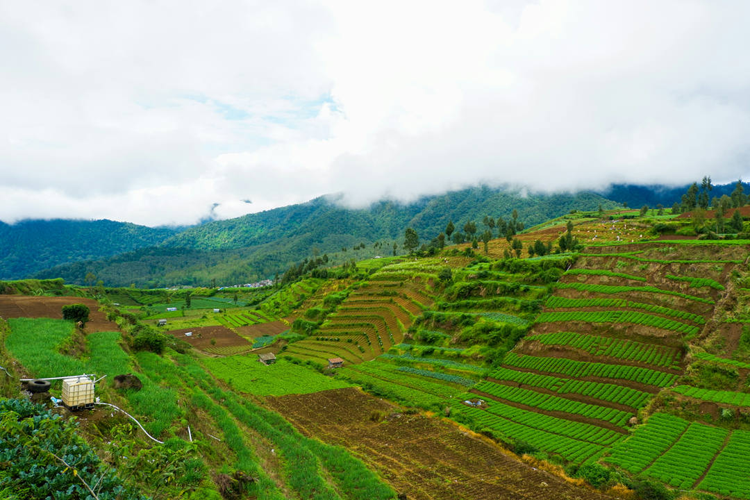
Some of the things to help resolve these issues are as follows. Terracing is a method in which the lands are flattened or leveled in steps on the steep hillside, preventing water runoff and soil erosion.
Contour farming—planting along the contours of the land rather than up and down the slope—helps slow water flow, promoting better water absorption and reducing erosion.
These practices not only help in soil conservation but also optimize crop yields on sloped lands.
Elevation
Elevation has a huge effect on the three key variables that control weathering: temperature, atmospheric pressure, and growth conditions. As elevation increases, the temperature generally decreases, and the growing season is shorter.
Crops at higher elevations take longer to mature because of the cooler temperatures and frost-free days often arrive later, which in turn delays harvests.
Besides, the higher the altitude, the more UV radiation the crops are exposed to, which may burn and damage the plant tissues of sensitive crops.
Because of the generally cool conditions and high UV radiation in high-altitude areas, farmers often have to choose slow-maturing varieties of crops that can sustain such conditions.
The cooler temperatures at higher elevations can further limit crop selection to only those that are best suited for the prevailing conditions.
Drainage
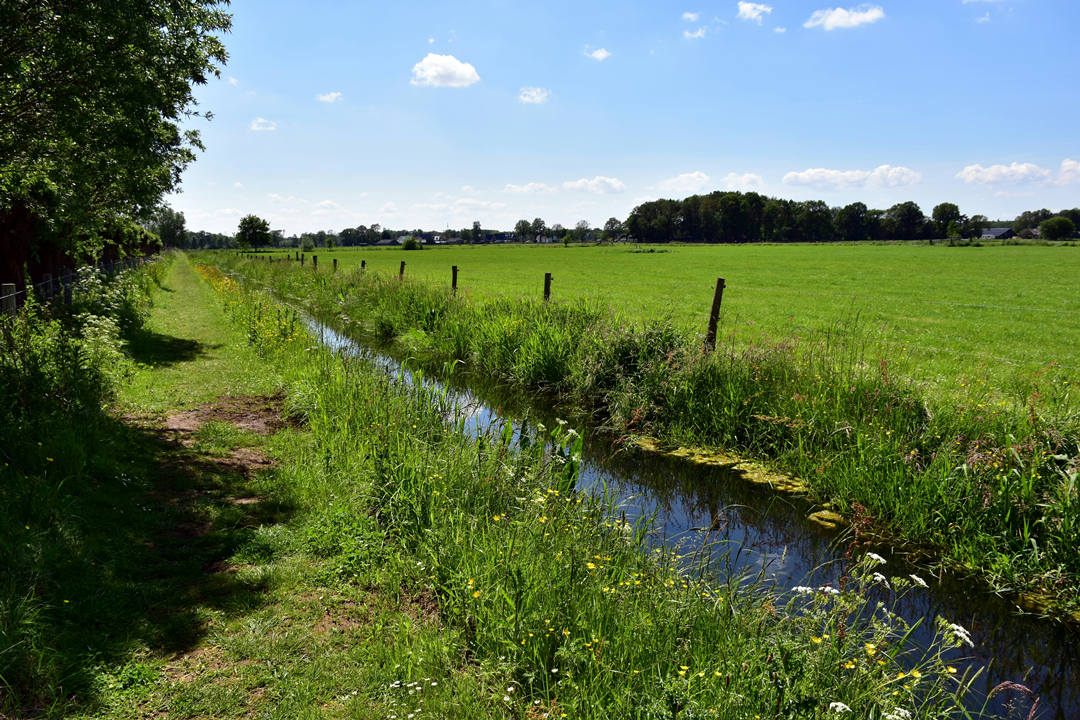
Agriculture depends on good drainage. Topography naturally designs the pattern of the flow of water through the land, which eventually affects the distribution of water into the soil. If it is a low-lying depression or has poor drainage, then the result will be waterlogged.
Waterlogged soil causes the roots to suffocate, impairs plant nutrient uptake, and creates ideal conditions for pests and diseases—all contributing to lesser crop yields.
Farmers can improve drainage through several different methods. Raised beds raise the soil elevation and thus drainage, while drainage tiles installed direct water away from the soil.
Organic matter, such as compost, can also be used to amend the soil structure to facilitate the flow of water rather than its collection. Drainage control is necessary to ensure that crops receive adequate moisture without the risk of root damage or waterlogging.
Aspect
Aspect refers to the cardinal direction that the slope of the land faces—north, south, east, or west—and it directly affects the pattern of sunlight and temperature.
The southern slopes get more direct sunlight and heat than other aspects. Plants may grow more quickly on southern slopes in the Northern Hemisphere. These could be perfect places for very early-season crops that benefit from a little extra heat.
On the other hand, north-facing slopes have considerably less direct sunlight and consequently remain cooler; this may be advantageous for those plants sensitive to high temperatures or intense afternoon sun.
Farmers can use this aspect to their advantage by selecting crops that are best suited to the temperature and sunlight conditions on different parts of their land. For instance, early-season vegetables might be planted on south-facing slopes to get a head start, whereas heat-sensitive vegetables such as lettuce or spinach would fare better on north-facing slopes.
Soil Depth and Texture
Topography also controls soil depth and texture, which are important factors in soil fertility and its ability to support crops. Soil depth is generally deeper in areas that are flat or valleys where erosion is minimal.
These areas have more capacity to hold water and nutrients, thus enabling better growth of plants. Steeper slopes, in turn, are normally made up of thinner soils due to continuous erosion, which could limit the nutrients and moisture that might be available to crops.
Soil texture also varies with topography, being sandy, loamy, or clayey. The sandy soils, which may be predominant in flatter or lowland areas, drain rapidly but often do not retain sufficient moisture for crops. Clayey soils, common on more gentle slopes, retain water well but may become compacted and prevent root penetration.
Water Availability
Farmland located near water sources, such as rivers, lakes, or groundwater reserves, has a natural advantage in irrigation.
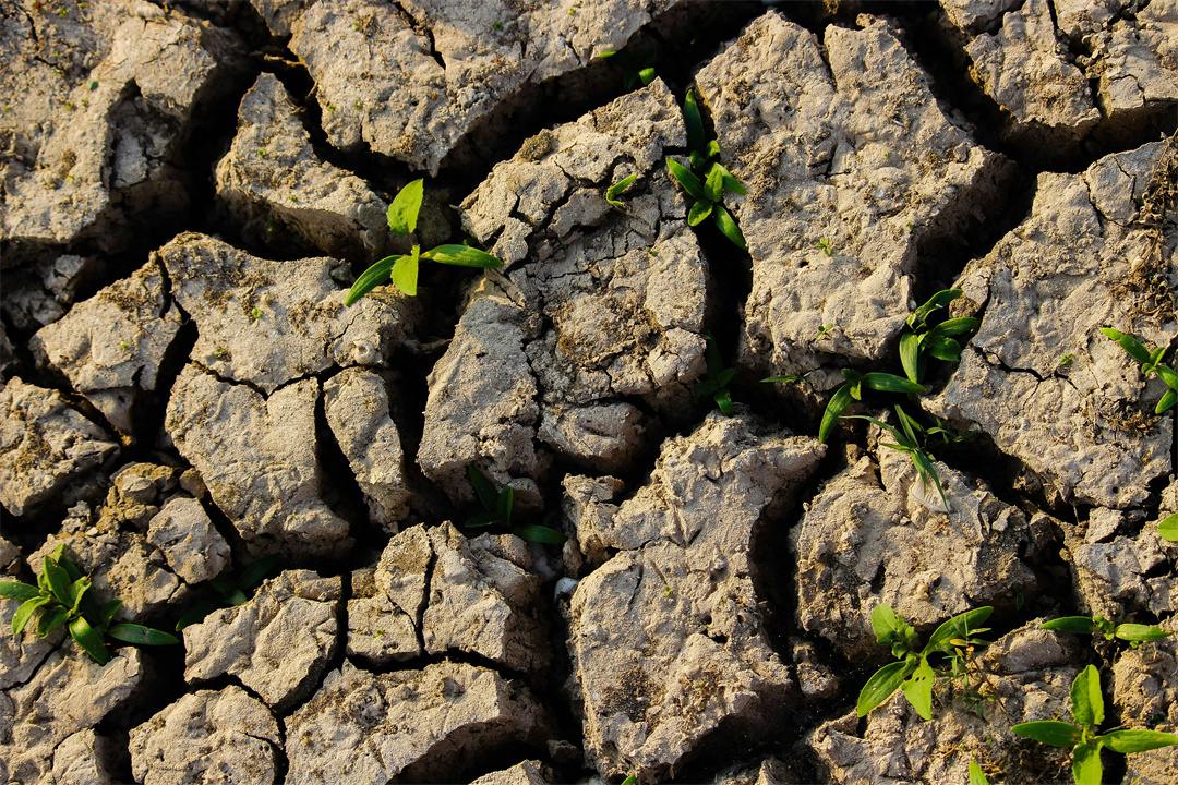
This proximity to water guarantees a regular supply of moisture, which is very crucial for crop growth, especially during dry periods. In addition, sources of water offer protection against drought, thus keeping crops well-watered and healthy.
However, some areas are far away from natural supplies of water and may not be able to sustain a reasonable amount of water. Such areas may involve irrigation systems that draw underground water or divert water from distant sources.
Accessibility
Topography also controls the accessibility of farmland, which has a direct effect on the cost and ease of farming. Most areas that are steep or mountainous present problems in the transportation of machinery, equipment, and agricultural inputs.
Poorly developed road networks or remote locations make access to the land difficult, increasing operational costs and reducing profitability from farming in such regions.
The flat or very gentle slope lands will provide access to machinery for planting, cultivating, and harvesting. Transportation of the crops to the market is also better in this type of terrain, which is again a big plus for large-scale farming ventures. Farmers have to invest either in very costly, specialized machinery designed for poor topography or use more human-intensive farming in areas with not-so-ideal topography.
What is the Ideal Topography for Agriculture?
Flatlands are considered, by large measures of opinion, the most suitable topography for agriculture owing to a number of attendant advantages. Most of them have plenty of water resources, with rivers and rivulets flowing across the area and thus assuring good irrigation to crops.
The soil is usually very fertile, replenished periodically by sediment deposits brought in by flooding, and thus very conducive to healthy plant growth.
In addition, the more stable and warmer climate of the low-altitude flatland enables consistent crop production, thus being very ideal for a number of agricultural activities.
The even landscape of flatlands also mechanizes farming, which helps in greatly reducing manual labor. These factors combined result in flatlands serving as a site of preference for large-scale and mechanized agriculture.
On the other hand, highlands have unfavorable conditions for crop growth due to scanty water supplies, infertile soils, and cooler temperatures.
These unfavorable conditions are overcome by the sophisticated practices of terracing, contour plowing, and growing resilient crops that enable farmers to put highland areas to good use.
How Can Drones Help Farmers Analyze Field Topography?
Drones can be a big help in topographic surveying and land analysis.
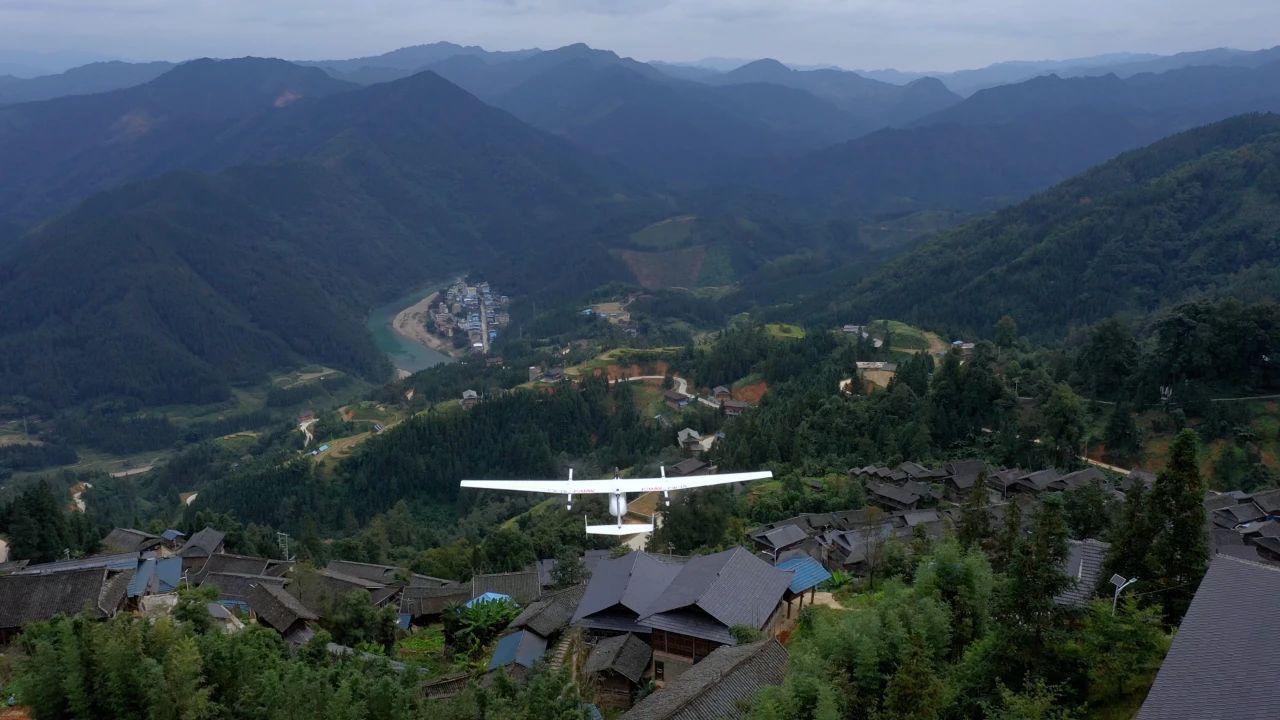
The JOUAV CW-15, with its 180-minute flying ability, 3 kg payload capacity, and range up to 50 km, will work just fine for the surveying of huge agricultural extents.
Equipped with RTK and PPK modules, it boasts the industry's most accurate vertical positioning down to 3 cm and horizontal positioning down to 1 cm, making the drone ideal for shooting low GSD images from a high altitude.
One can also attach LiDAR, RGB cameras, and multispectral cameras on the CW-15, which makes it very good for performing comprehensive agricultural surveys.
FAQ
How Does Soil Affect Agriculture?
Soil is the very basis of agriculture, whereby agricultural growth and output depend on soil. The texture, structure, and fertility all determine its capacity to support root development, its water storage potential, and aeration while supplying nutrients.
Loamy soils, when the content of sand, silt, and clay in them is relatively balanced, are often regarded as ideal for farming because they have good water-holding capacity while allowing adequate aeration.
The pH level of the soil affects nutrient availability, where for most crops, slightly acidic to neutral soil is preferred.
Soil erosion, compaction, and contamination contribute to adverse changes in productivity, and in this context, soil management strategies such as crop rotation, cover cropping, and conservation tillage become more relevant.
How Does Topography Affect Soil Formation?
The topography directly influences the formation of soil through the phenomenon of water flow, erosion, and deposition of organic materials.
On steep slopes, there is much more runoff of water and thus more soil erosion, so the soils are thinner. Low-lying basins tend to accumulate sediments and organic matter and typically have thicker, more fertile soils.
The direction or aspect of a slope can also affect soil development; south-facing slopes in the Northern Hemisphere receive more direct sunlight and tend to be drier than north-facing slopes, so typically support thinner and less organic soils.
It is these topographical factors that, over time, contribute to soil depth, soil texture, and fertility.
How Has This Topography Affected What is Grown in the Region?
Topography influences the type of crops grown by determining the available water, soil nature, and climate of the area.
Flatlands with fertile soils and good drainage are ideal for staple crops like wheat, rice, and corn; steep slopes may be better suited for vine crops, such as grapes, or terraced rice farming.
Where temperatures are coolest, mountainous areas limit choice for cropping to hardy plants like barley and potatoes.
Valleys often contain alluvial soils and may be used for fruit and vegetable production, while the proximity of the land to water and the generally moderate temperatures will easily support crops of sugarcane or coconuts.
How Does Topography Affect Climate?
Topography alters the local and regional climate patterns since it changes the temperature, precipitation, as well as the flow of winds.
Generally, higher elevations are cooler because of the lower atmospheric pressure, which influences the growing season and the type of crops that can be grown. Mountain ranges can block air masses and cause rain shadows on the leeward side, where it is drier and higher precipitation on the windward side.
Valleys are often hotter, as heat becomes trapped, while coastal areas with gentle topography have moderated temperatures because of proximity to large bodies of water.
These climatic fluctuations in turn give shape to different kinds of vegetation and land use in the various regions.
How Does Land Tenure Affect Agriculture?
Land tenure, or the right of individuals or a community to use, own, or manage land, influences agricultural productivity and sustainability.
Secure land tenure leads farmers to confidently invest in long-term improvements such as soil conservation, irrigation, and crop diversification due to the reassurance of benefiting from those investments.
On the other hand, insecure tenure or absence of clear ownership results in overexploitation, neglect of soil health, and loss of productivity as farmers look toward short-term benefits only.
Well-defined land tenure systems also allow access to credit with land serving as collateral, which furthers agricultural development.
What is the Difference Between a Topographic Map and a Relief Map?
A topographic map is a detailed map representation of the physical features in an area, such as elevation, landforms, and water bodies, usually drawn with contour lines showing elevation changes. It provides full views of the terrain and is generally used for planning, navigation, and resource management.
A relief map emphasizes the elevations and terrains of an area, employing shading or three-dimensional models to portray variations in height. Although both carry information on the surface of the earth's land, topographic maps are more precise and detailed, whereas relief maps stress more on the aspect of visualization regarding land elevation.
What is Relief and Elevation?
Relief is the relative difference in height over an area, indicating the difference between the highest and lowest points. It describes how rough or flat the terrain is, which aids in determining whether there are mountains, valleys, or plateaus.
Elevation refers to the vertical height of a given point above a reference level, usually sea level. For instance, a mountain's elevation would be its height above sea level, while relief refers to the height difference between the top and the general land area around it. These two measures combined give a good representation of the topography of an area.
What is the Difference Between Topography and Relief?
Topography is basically about the study and description of all earthly features concerned with elevation, slope, and natural or artificial features like rivers, mountains, and roads. It has something to do with a broad vision in respect of the physical features of the terrain.
As a subcategory of topography, relief concerns only the differences in elevation along the surface in a vertical plane. For instance, the difference in height between a valley and a peak. Whereas topography is a description of all features in a landscape, relief emphasizes its third dimension, thereby helping to imagine how rough or flat the terrain is.


