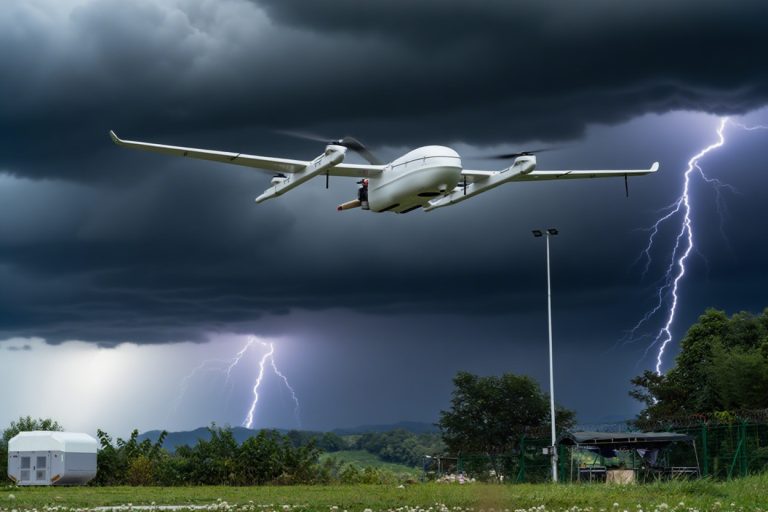
Flying a drone beyond visual line of sight (BVLOS) unlocks powerful advantages—from saving time and cutting costs to reaching dangerous or remote areas without putting people at risk. But with these b
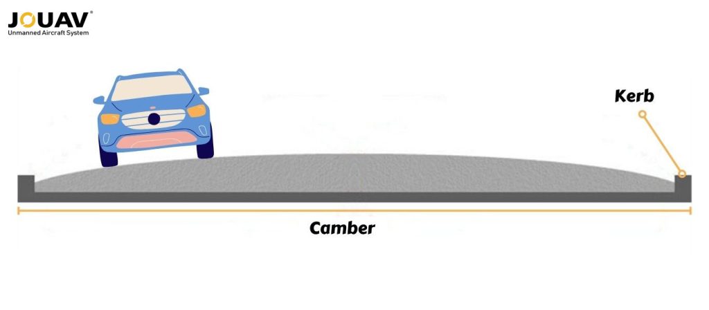
Ever driven on the road and noticed it's not perfectly flat? That subtle tilt from the center outwards is called camber in roads, and it's a clever engineering trick most drivers don't even realize is there.
This slant isn't just for looks; it's designed to drain rainwater off the road efficiently.
By keeping water moving, camber in roads prevents puddles and protects the road itself, especially during heavy storms.
But camber does more than just fight the weather. It also helps vehicles stay stable, especially on curves, by giving tires a better grip on the road.
This guide will explore the why and how of camber in roads, from different types to how it's built, and even some cool new tech used to measure it.

What is Camber in Road?
Camber is a transverse slope on the road surface, meaning it slopes from the center crown towards the edges. This intentional tilt acts like a drainage system, channeling rainwater away from the road surface and towards the shoulders.
Types of Camber in Roads
While the overall purpose of camber – efficient drainage of rainwater – remains constant, there are different ways to achieve this slope on a road surface.
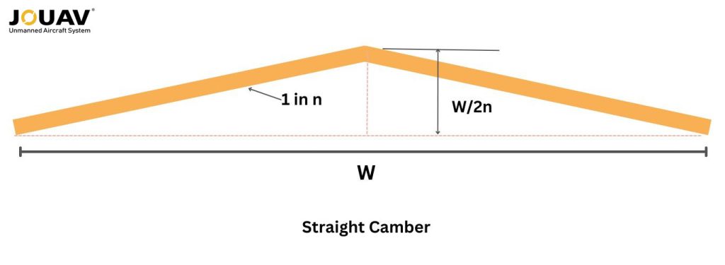
Sloped or Straight Camber
Straight camber is like the classic teepee – easy to build with straight lines. This makes it popular and affordable for most roads. But just like a teepee might leak in heavy rain, straight camber struggles to drain wider roads quickly.
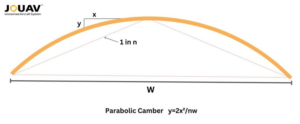
Parabolic or Barrel Camber
Parabolic camber, on the other hand, is like a sleek sports car. It has a smooth, curved design that efficiently channels water away from the road, perfect for highways and areas with lots of rain.
However, building these curves requires more skill and fancy equipment, which can bump up the cost. Additionally, the steeper edges might wear down faster and need curbs for safety, adding another layer of complexity.
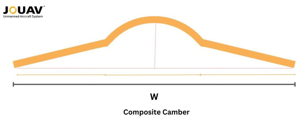
Composite Camber
Finally, composite camber is the "just right" option. It combines the ease of straight lines with a slightly curved center, offering better drainage than straight camber but being easier to build and maintain than a full parabolic design. It's like a well-designed hybrid car – efficient and practical.
Factors Affecting Camber Design
Not all roads are created equal, and the same goes for camber! The ideal slope for efficient drainage depends heavily on the type of road itself.
Pavement Type
The necessity for camber depends on the type of pavement and its permeability. Impervious surfaces like concrete or bituminous pavement require less camber because water doesn't readily penetrate them.
Conversely, water-permeable surfaces like water-bound macadam (WBM) or earthen roads need steeper camber to ensure proper drainage and prevent water from damaging the road base.

Traffic Volume
While drainage is king, traffic volume also plays a role. High-traffic roads might benefit from a slightly steeper camber to handle more water runoff.
However, there's a catch – excessive camber can lead to uncomfortable driving experiences with issues like side thrust on steering wheels and difficulty overtaking. So, engineers strike a balance between drainage efficiency and driver comfort.
Rainfall
Rainfall patterns significantly impact camber design. Areas with heavy downpours require steeper slopes to ensure water flows off the road quickly. Conversely, regions with less rain can get away with a gentler camber.
Read More
You glance at the METAR report:
KJFK 031452Z 28022G35KT 1/4SM +TSRA OVC005CB 18/16 A2987 RMK AO2
It looks like aviation’s secret code—and you’re not alone if you feel overwhelmed.
Many avi
How much weight can a drone fly?
Here is the answer: Physically, consumer drones can carry 0.2 kg to 2 kg (0.4–5.5 lbs), while heavy-lift models like the CW-80E handle up to 25 kg (55 lbs). Industria

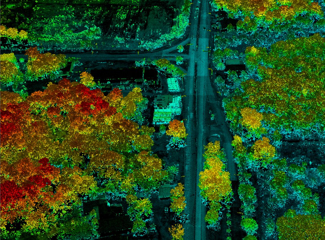
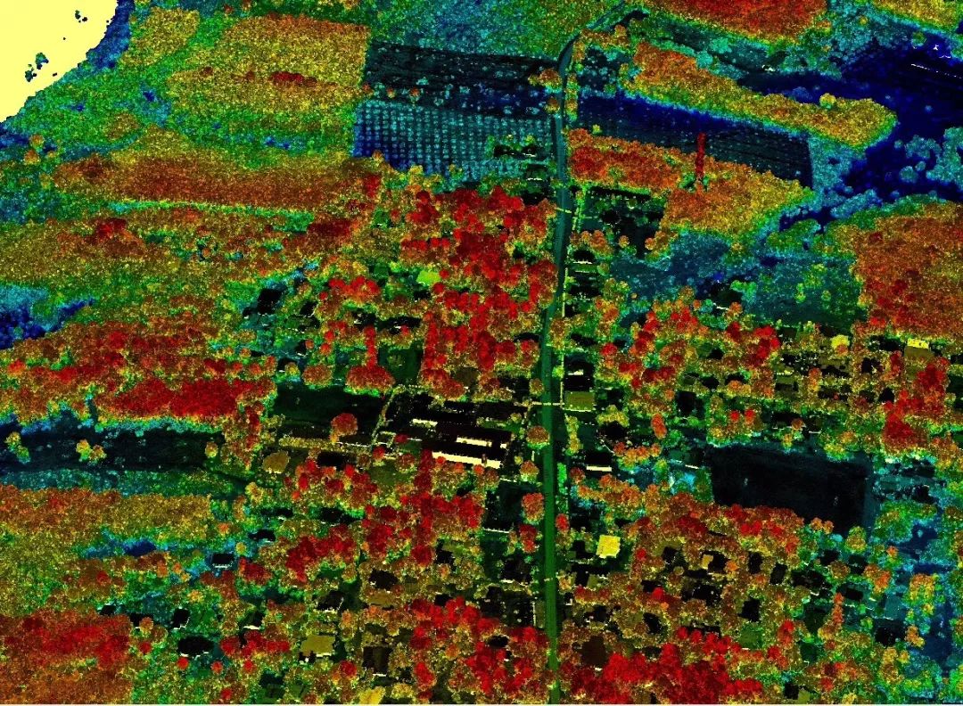
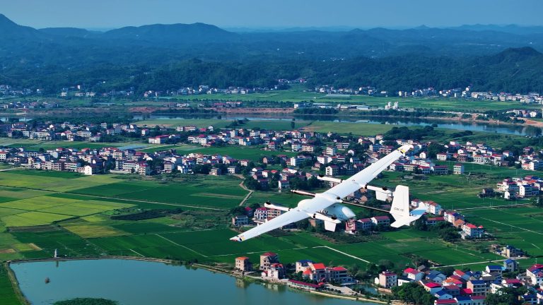
JOUAV Product News and Use Cases
Fixed-Wing VTOL Drones Insights and Industry Trends
Invitations to online demo events