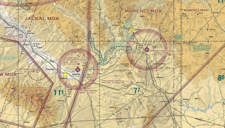
Archaeological Surveys: Methods, Importance, and Challenges
Archaeological surveys are essential tools for uncovering and protecting our past. By systematically identifying and evaluating sites, they help us understand ancient civilizations and ensure our cultural heritage endures. These surveys are crucial for complying with heritage laws, minimizing construction risks, and conducting reliable field research.
This article explores the purpose, methods, and applications of archaeological surveys. It also discusses how advanced techniques like geophysical surveys and aerial technologies improve efficiency and accuracy.
What is an Archaeological Survey?
An archaeological survey is a systematic and large-scale examination of a designated land area to identify and document any archaeological resources present, such as historic structures, prehistoric artifacts, or buried features.
The objective of such surveys is always to preserve cultural heritage by identifying and protecting significant sites that could be disturbed or destroyed in various development or construction projects.
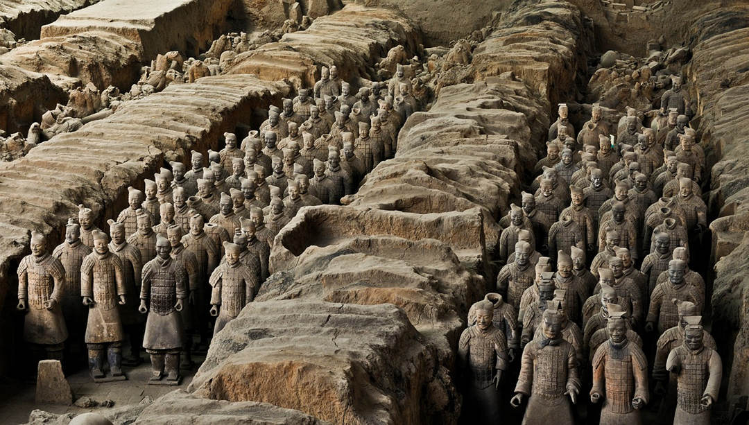
Importance of Archaeological Survey
It is also commonly conducted before any land development project, whether residential, commercial, or infrastructure.
In this regard, surveys of archaeological resources help in the decision-making process regarding what can and cannot be constructed on a site and what historical findings should not be dug up during development.
The absence of a proper survey exposes the development projects to unforeseen costs and delays, especially if significant archaeological remains are found during such constructions.
For this, the project might face major delays or the plans of the project would need to be changed at great costs. In addition, damaging heritage assets could also bring legal penalties and fines.
Besides, archaeological surveys play a significant role in planning. While reviewing planning applications, local planning authorities consider the impact of the development on heritage assets.
The findings of the survey, therefore, have a direct influence on how these impacts are managed to ensure that planning complies with preservation regulations and avoids any legal complications.
Documentation and protection of archaeological resources through surveys avoid both unexpected costs and the possibility of damaging historically important sites.
Types of Archaeological Survey
Archaeological surveys can be classified by their methodology and scale into non-invasive versus intrusive surveys and extensive versus intensive surveys. Each kind is suited to different purposes and applies to different project needs.
Non-Intrusive vs. Intrusive Surveys
Non-intrusive surveys provide information regarding archaeological sites without disturbing the ground, preserving the sites for future generations.
These techniques of surface surveys, aerial with drones or LiDAR, and geophysical ground-penetrating radar or magnetometry represent perfect options in the case of initial estimates or when the effective survey of vast areas is needed. This enables the identification of subsurface features and patterns without actual excavation.

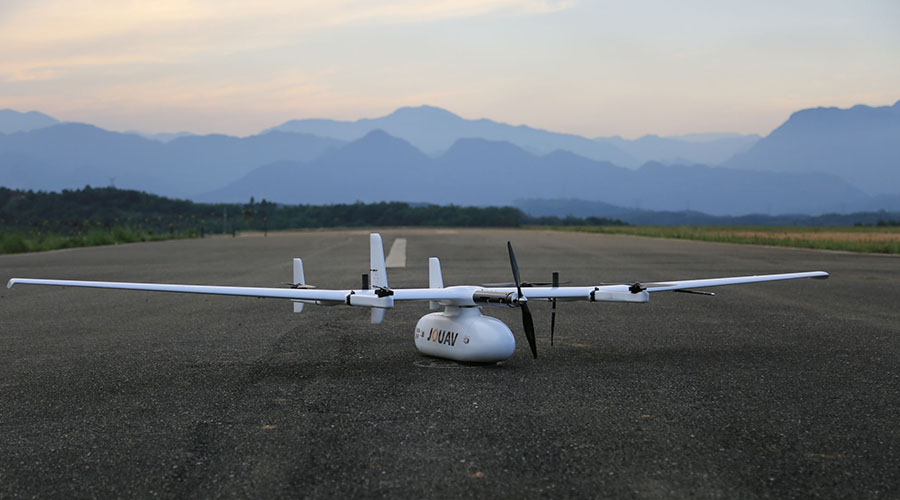
The CW-15 VTOL drone, equipped with LiDAR and aerial cameras, revolutionizes archaeological research by providing rapid, high-precision data acquisition for exploration, mapping, and monitoring.
Intrusive surveys involve the physical alteration of the site to study features that are buried. The methods include test excavations, borehole drilling, and trenching, which give detailed data on stratigraphy, artifacts, and structures. While providing definitive insights, intrusive surveys can permanently alter the site and are generally employed after non-intrusive methods have identified areas of interest.
The main difference lies in their impact: non-intrusive surveys preserve site integrity for preliminary exploration, while intrusive surveys delve deeper for verification and detailed analysis.
Extensive vs. Intensive Surveys
Extensive surveys are broad, covering large areas in search of numerous archaeological sites to identify and document. These surveys concern breadth, which helps establish regional contexts such as settlement patterns and resource distribution. They are particularly useful in regional studies, providing a broad overview that guides further investigations.
In contrast, intensive surveys focus on smaller-scale areas or site-specific regions and collect more detailed data. They include the systematic inspection of features, artifacts, and stratigraphy, both by non-intrusive and intrusive methods. Intensive surveys are done precisely, with a thorough documentation of the details of the site.
It differs in scale: extensive surveys provide a broad overview of numerous sites, whereas intensive surveys are deep investigations into a single location. These complement each other, often with extensive surveys providing a framework where intensive investigations are required.
Equipment Used in Archaeological Survey
A range of tools and technologies in archaeological surveys runs from the more traditional instruments to state-of-the-art equipment.
Measuring Tools
- Tape Measures: Useful for taking measurements of distances while undertaking surface surveys or preparing excavation grids.
- Total stations and Theodolites: Employed in correct mapping and making topographical models of archaeological sites.
- Plumb bobs and levels: Useful during excavation when needing to check for vertical and horizontal accuracy.
Recording and Documentation Tools
- Field Notebooks: For recording observations, drawings, and notes about site conditions and finds.
- Graph Paper and Scales: Used for drawing detailed maps and plans of the site.
- Photography Equipment: Cameras and drones capture visual records of sites and artifacts for analysis and reporting.
Aerial Survey Tools
- Drones (UAVs): Equipped with cameras or LiDAR sensors for capturing aerial imagery and topographic data.
- LiDAR Scanners: Create detailed 3D maps of the terrain, even through dense vegetation, enabling identification of hidden features.
- Satellite Imagery and Photogrammetry Software: Provide large-scale aerial views and aid in creating detailed maps.
Geophysical Survey Instruments
- Ground-Penetrating Radar (GPR): Emits radar pulses to detect buried structures or voids without excavation.
- Magnetometers: Measure variations in the Earth's magnetic field caused by buried features like walls or pits.
- Resistivity Meters: Detect subsurface features by measuring electrical resistance in the soil, useful for identifying foundations or ditches.
- Gradiometers: Specialized magnetometers for detecting subtle magnetic variations.
- GPS Devices: For accurate positioning and georeferencing of survey areas.
- Infrared Sensors: Detect heat variations, which can indicate human-made features beneath the surface.
Excavation Tools
- Trowels and Shovels: Used for digging and carefully uncovering artifacts and features.
- Sifting Screens: Separate soil from small artifacts during excavation.
- Handpicks and Brushes: For gentle excavation when the artifacts or structures happen to be fragile.
Borehole and Core Drilling Tools
- Augers and Soil Corers: Take samples of the soil to check the stratigraphy and locate hidden deposits.
- Drilling Rigs: For deeper core sampling in big projects.
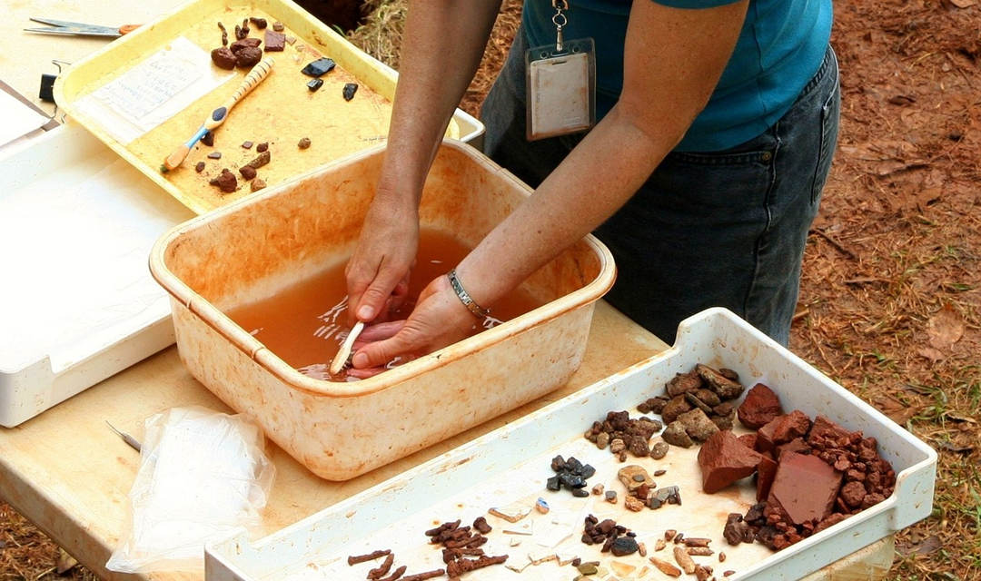
Steps in Surveying an Archaeological Site
The survey of an archaeological site is a systematic process of identification, documentation, and evaluation of cultural resources while maintaining their integrity. Below are the key steps.
Step 1: Research and Planning
Before going to the field, an archaeologist does considerable work in preparation. In particular, he reviews previously obtained information: site records, historical documents, and summaries of archaeological research. This provides the background and helps archaeologists understand what types of sites and artifacts may be present in the area.
Ethnographic accounts, land records, and aerial photographs are also important sources for the discovery of information about local history and possible cultural significance. Topographic maps are used to identify particular landforms and features that may be worthy of closer investigation.
In addition to desk research, archaeologists secure necessary permissions from landowners, contact relevant tribes or cultural organizations, and engage with knowledgeable parties who may have a vested interest in the project.
It is the step that creates a research design, which is a structured plan outlining the objectives, methods, and documentation processes for the survey. This plan leads to fieldwork in which systematic and efficient site exploration is ensured.
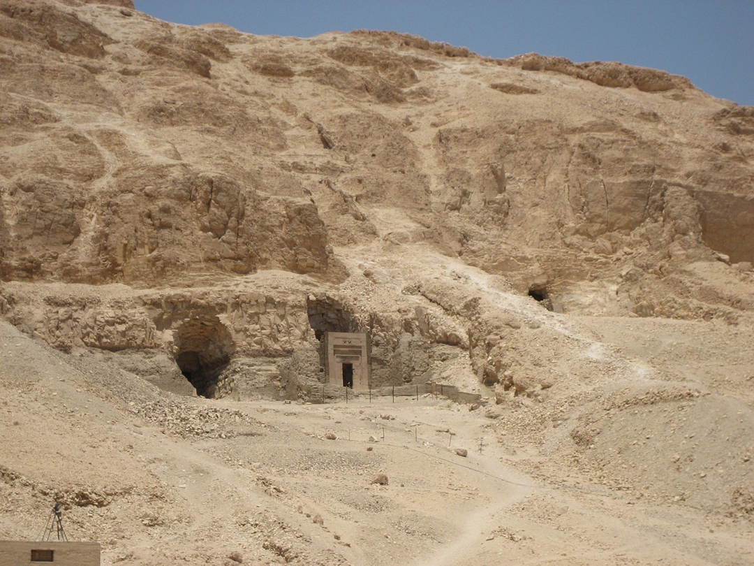
Step 2: Field Survey
During the field survey, actual site inspection is done based on methods outlined in the research design. The particular approach depends upon the survey goals, site conditions, and available resources.
1. Systematic Walking and Visual Inspection
Archaeologists often walk across the site in regularly spaced transects, scanning the ground for surface artifacts, features, or environmental markers that may reflect human presence.
2. Subsurface Testing
When visibility is poor because of vegetation or soil cover, archaeologists resort to subsurface investigation. These include digging small shovel test pits, auger holes, or probes to search for buried artifacts or structures.
3. Geophysical Survey and Non-Intrusive Techniques
Advanced non-intrusive methodologies include GPR, magnetometry, and LiDAR, which might be performed without excavation. These tools are particularly applicable in cases where the least disturbance should be made to the earth.
If an archaeological site is found, detailed information on the location and characteristics of the find is recorded. Where more detailed excavation might be necessary, additional permissions are gained regarding local statutory requirements.
Step 3: Documentation and Analysis
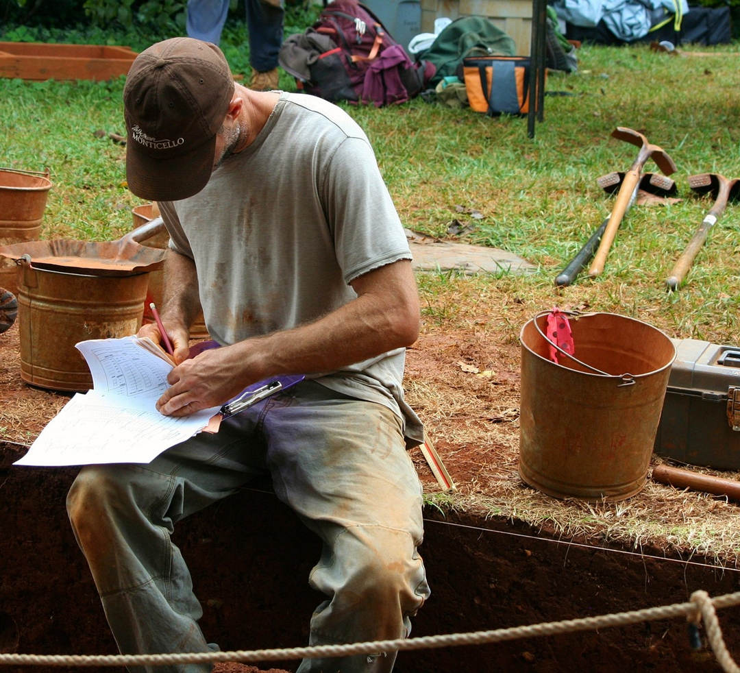
Each discovery is carefully documented to retain as much contextual information as possible. This includes mapping, using GPS or GIS programs, photography of important features, and cataloging the artifacts with detailed descriptions.
When new sites are discovered, a formal site form is prepared that includes exact location data, a description of the site, and preliminary interpretations about significance.
While analysis often begins in the field, more sophisticated research, like radiocarbon dating and material composition, is performed in specialized laboratories. The result of this stage helps the archaeologists contextualize their findings against a greater historical or cultural backdrop.
Step 4: Reporting and Recommendations
The last step is to compile a detailed survey report. This report summarizes background research, field methods, and findings of the archaeologist, providing a clear record of the work done and the results. The report is essential whether or not important findings are made, as it is a matter of record and provides transparency.
The report typically includes:
- A summary of background research and planning.
- A detailed account of fieldwork methods and observations.
- Analysis and interpretation of findings.
- Recommendations for further work, site preservation, or mitigation measures.
The completed report is submitted to the landowner, project manager, and regulatory agencies to fulfill legal and professional requirements.
Challenges and Limitations of Archaeological Surveying Techniques
Archaeological surveying is essential to the preservation of cultural heritage, yet it faces various environmental, logistical, technological, and ethical challenges that complicate the process.
Environmental Challenges
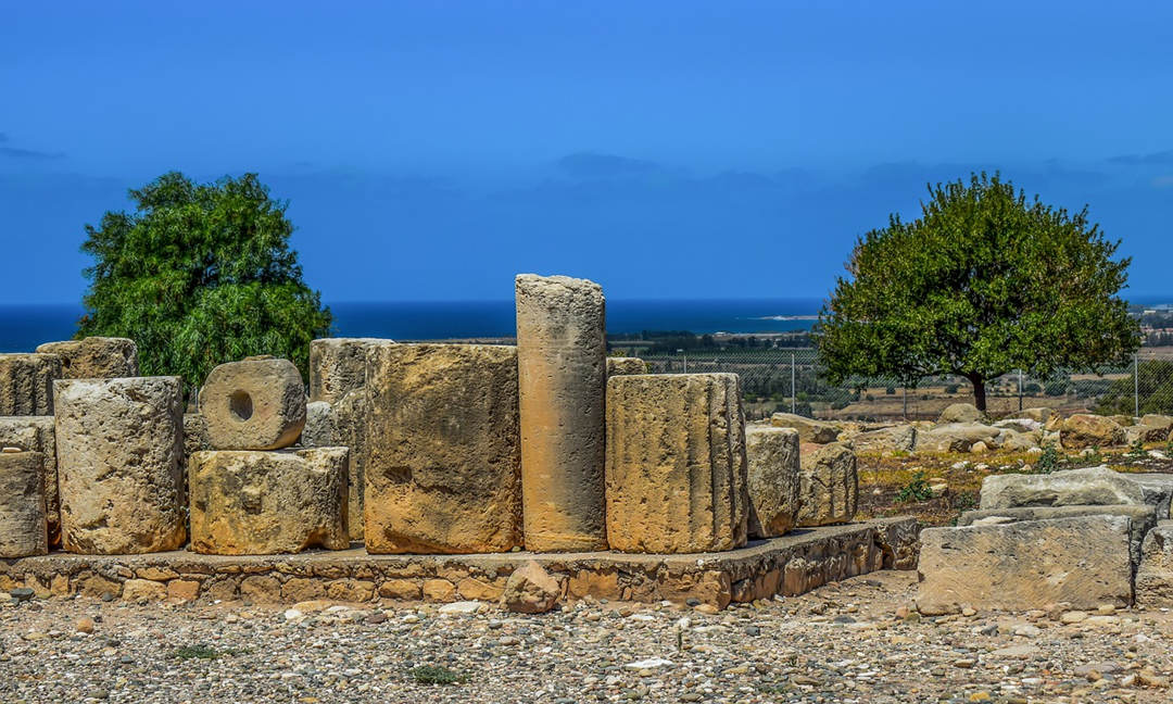
Natural conditions can seriously interfere with surveys. Heavy vegetation, rough terrain, and weather conditions such as heavy rainfall or extreme heat can make access to or investigation of a site problematic. Features located under the surface may be masked by geological deposits, which can render detection hard or impossible even with the use of sophisticated equipment.
Logistical Constraints
Surveys often require significant time, resources, and skilled personnel. Remote locations may lack infrastructure, increasing costs and complicating access. Additionally, securing permissions from landowners, government agencies, or local tribes can delay progress.
Technological Limitations
While modern technologies like ground-penetrating radar and LiDAR have revolutionized surveys, they come with limitations. Equipment can be expensive, and interpreting the collected data requires specialized expertise. Non-intrusive methods may not always provide detailed information about subsurface features, necessitating intrusive techniques that can disrupt the site.
Ethical and Legal Concerns
Archaeological sites are usually culturally sensitive. The balancing between preservation and exploration can be tricky, especially when indigenous or local communities have strong attachments to the area. Legal requirements include obtaining excavation permits, adhering to heritage protection laws, and maintaining ethical practices.
Risk of Incomplete Data
The nature of surveying itself is selective; therefore, not all possible features or artifacts can be realized in a large area. This might also result in partial understanding or missing the very important discovery and thus a further investigation into the places already surveyed.
These challenges raise the need for innovative ways through which archaeological surveying can be conducted, and here comes the use of drones as a game-changing devices.
How Do Drones Help Archaeological Surveying?
Drones have transformed the process of archaeological surveying by overcoming many of the obstacles that were inherent in traditional methods. These unmanned aerial vehicles combine advanced technology with versatility, offering efficient, accurate, and cost-effective solutions.
Increased Accessibility and Efficiency
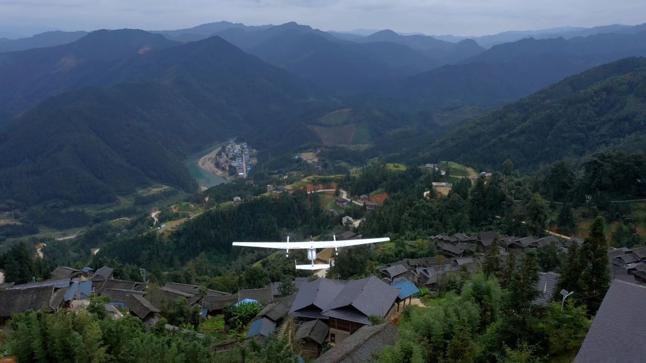
Drones can survey large or inaccessible areas much faster, avoiding obstacles such as dense forests or rugged terrains. This greatly reduces the time and labor required for ground surveys, thus giving the archaeologists more time to focus on areas of interest.
Advanced Data Collection
Equipped with LiDAR, thermal cameras, and multispectral sensors, drones can find buried structures, identify patterns, and assess site conditions with unprecedented accuracy. Such devices allow the archaeologist to disclose features that are invisible to the naked eye, such as buried walls or very subtle landforms.
Non-Invasive Exploration
The important reason is that drones do not destructively investigate sites but keep their integrity. The air-collected data causes less physical disturbance, making drones ideal for surveying sensitive or protected locations.
Cost-Effectiveness
In addition, drones are inexpensive compared with traditional methods or manned aircraft. They can be reused multiple times, changing due to the evolution of needs within a survey without much cost increase.
Real-Time Monitoring and Documentation
Drones offer real-time data collection and imagery, enabling archaeologists to monitor progress and adjust their survey plans dynamically. Their ability to produce detailed 3D maps and models enhances documentation, providing a permanent digital record of the site.
The JOUAV CW-15, with the DG10 Oblique Camera, works as a perfect solution in large-scale archaeological surveys. In Indonesia, it flew at 265 m and covered 6-7 km² in one go, delivering an impressive 2 cm GSD. Read more about the case.
Due to this combination of great range, fine detail, and efficiency, the CW-15 is ideal for high-precision mapping and data gathering in complex environments.
FAQ
How Long Does an Archaeological Survey Take?
It is quite difficult to generalize about how long an archaeological survey may take since much is contingent upon the area to be investigated, its intricacy, and other concerns regarding details and methodologies employed. Thus, it could vary from small and easy projects taking up to several weeks to, on other occasions, major projects, complex and larger, taking upwards of many months or years to accomplish.
When is an Archaeological Survey Required?
The usual instances when an archaeological survey becomes a necessity are during the construction of buildings or infrastructure in any area, more so when that region is historically or archaeologically important.
Very many archaeological surveys are required by local or national law to determine if any development will have an impact on historical sites or artifacts. If significant remains are found, further research or mitigation may be necessary that might seriously impede, delay, or alter the plans of the development.
Furthermore, archaeological surveys can also be conducted for research, documentation, and understanding purposes of past cultures, protection, and preservation of a site of cultural heritage.
What is the Reconnaissance Survey in Archaeology?
A reconnaissance survey is an initial, broad survey conducted to identify potential archaeological sites over a large area. It is generally nonintrusive, using techniques ranging from surface walking to the use of aerial imagery. The goal is to rapidly evaluate the landscape for indications of archaeological activity before more detailed and often more intensive studies are undertaken.
How Do Archaeological Surveys Solve Research Problems?
Archaeological surveys provide crucial data that help researchers understand the distribution, preservation, and context of archaeological sites. They pinpoint locations where excavation or further investigation is needed, by which archaeologists can target their efforts effectively and avoid damaging sites. Surveys also help in constructing broader historical narratives and understanding cultural patterns.
How Does Survey Limit Archaeological Research?
Surveys are limited to surface-level evidence or non-invasive methods that may miss deeply buried artifacts or features. The success of a survey also depends on environmental conditions, terrain accessibility, and the technology used. Moreover, biases or too limited sampling can lead to incomplete or inaccurate conclusions in the interpretation of survey data.
How to Conduct an Archaeology Gradiometer Survey?
To perform a gradiometer survey, an archaeologist takes measurements of subsurface material by determining variations in the Earth's magnetic field with the use of a magnetometer.
It involves walking through the survey area with the gradiometer while collecting data from magnetic anomalies that could indicate a wall, ditch, or even other features and artifacts buried beneath the surface. Data analysis then maps such anomalies and determines their potential for further investigation.


