So, can you fly a drone over people in 2026?Short answer: yes—but don't expect a free pass. Over the past few years, regulators like the FAA and EASA have fundamentally changed the game. They've moved
The drone industry isn't just growing; it's fundamentally reshaping how we work. According to recent data from Precedence Research, the global commercial drone market is set to hit $44.5 billion in 20
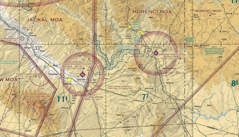
Class E airspace is everywhere, but it’s rarely obvious. It can start at the surface, at 700 feet, or at 1,200 feet—and if you’re a drone pilot, that difference changes everything.So how do you read i
Drones are now more than just toys. At first, they were a hobby for a few people, but now they are a big industry. They change how we film, map, check things, and even farm. In 2026, drones are fast,
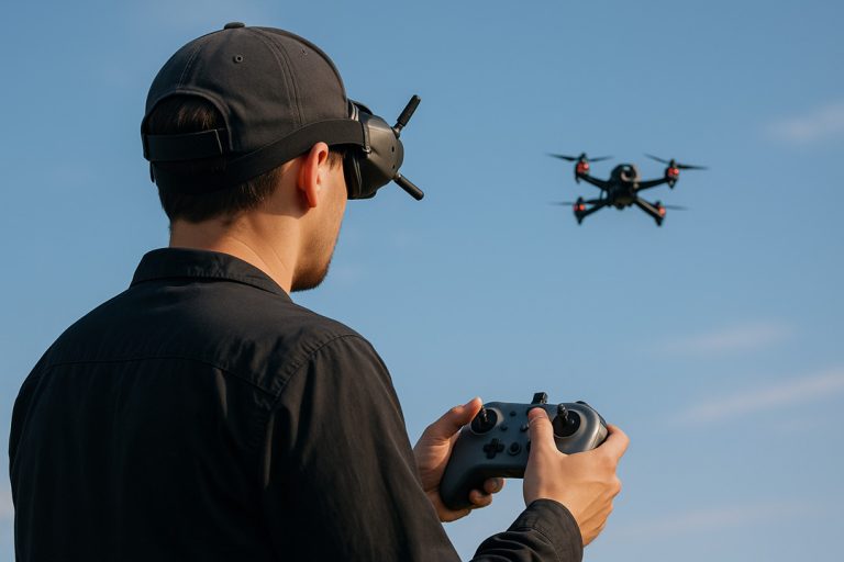
If you’ve ever watched a drone race or a breathtaking chase scene filmed from the sky, you’ve probably already seen an FPV drone in action.FPV stands for First-Person View, and it’s exactly what it so
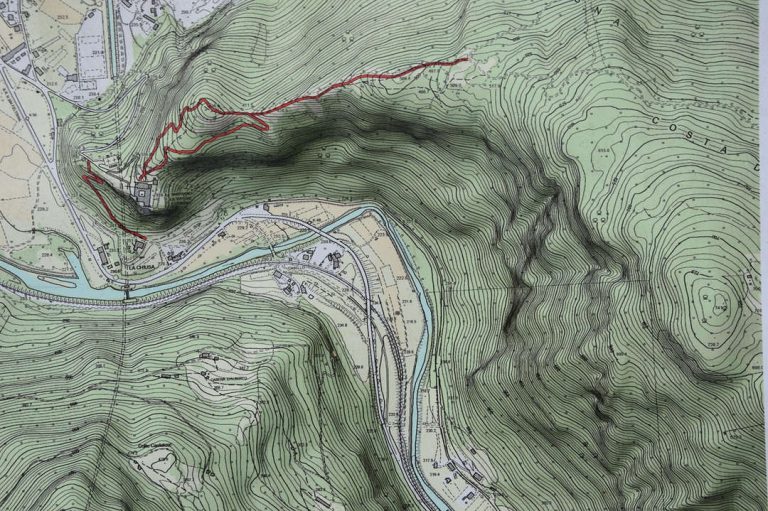
If you’ve ever planned a hike and opened a topographic map covered with contour lines and symbols, you know it can look overwhelming at first. Learning how to read a topographic map is an essential ou
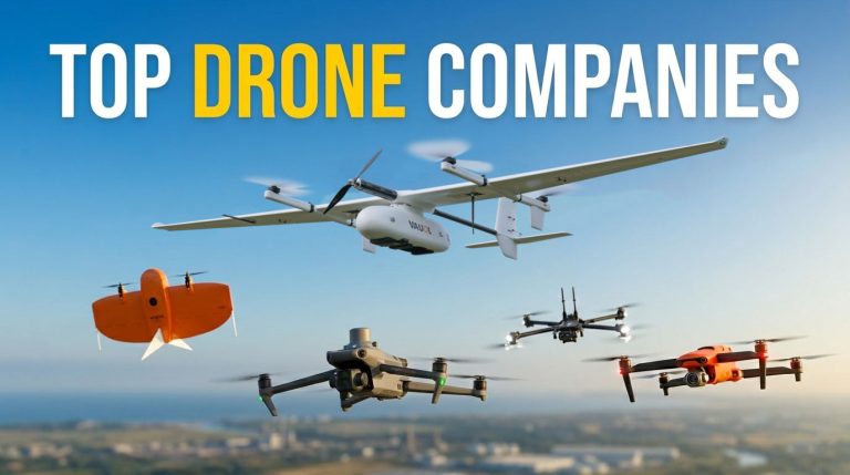
The drone industry is no longer just about hobbyists capturing cool aerial shots—it’s now a multibillion-dollar market that’s transforming how businesses operate worldwide.According to Drone Industry
Here's the truth about drone flying: even the best pilots have close calls. A system error, a sudden weather change—these things are often out of your control, but the repair bills or liability claims
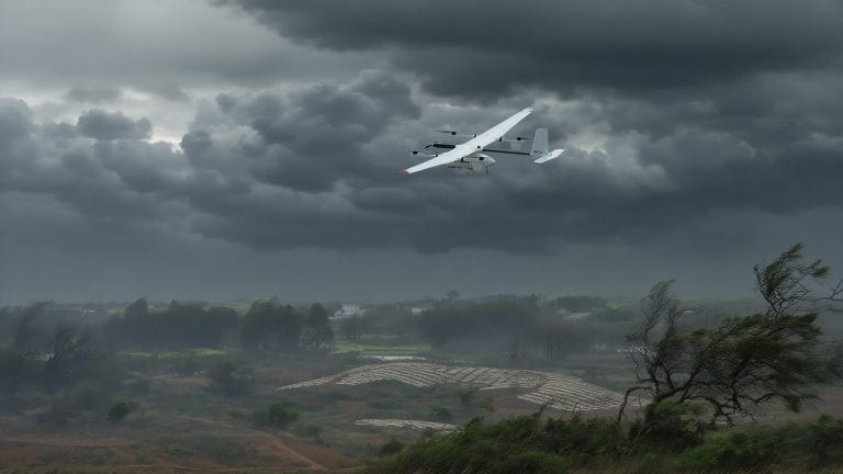
For commercial users working in surveying, mapping, inspections, or emergency response, wind isn’t just a nuisance—it’s a mission-critical factor. A drone’s ability to resist wind determines whether i

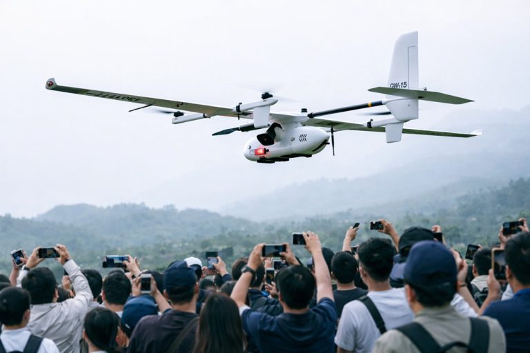
JOUAV Product News and Use Cases
Fixed-Wing VTOL Drones Insights and Industry Trends
Invitations to online demo events